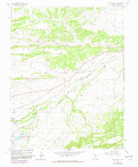
1963 Map of Ritter Arroyo
USGS Topo · Published 1982About this map
The Cucharas River valley serves as the primary corridor for movement and settlement in this Huerfano County landscape. The Denver and Rio Grande Western Railroad tracks parallel the river, connecting the outlying ranchlands to the regional infrastructure. This 1963 survey (with 1982 revisions) captures important genealogical sites, including the Old La Veta Cem and the La Veta Cem to the south, as well as the Chavez Cem near Chavez Arroyo. Water management is central to the area's development, evidenced by the Lake Meriam Ditch and numerous reservoirs like Daigre Res and Wahatoya Lake Reservoir. The rural educational landscape is marked by the presence of the Ritter Sch, which stood near the convergence of the valley and the surrounding high ground of Pinon Hill.
Find a feature on this map
23 named features on this map. Tap any name to fly to it.
Don’t see what you’re looking for? This feature index may not catch every label — zoom into the map to look around manually.
Map Details
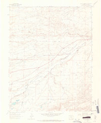
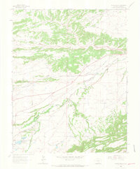
Editions of this 1963 Ritter Arroyo Map
3 editions found
Other maps of this area

1889 · Huerfano Park
USGS Topo · 1:125,000

1891 · Walsenburg
USGS Topo · 1:125,000

1891 · Spanish Peaks
USGS Topo · 1:125,000

1892 · Huerfano Park
USGS Topo · 1:125,000

1893 · Spanish Peaks
USGS Topo · 1:125,000

1894 · Walsenburg
USGS Topo · 1:125,000

1895 · Spanish Peaks
USGS Topo · 1:125,000

1897 · Walsenburg
USGS Topo · 1:125,000

1897 · Spanish Peaks
USGS Topo · 1:125,000

1900 · Spanish Peaks
USGS Topo · 1:125,000