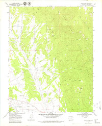
1969 Map of Badito Cone
USGS Topo · Published 1979About this map
Turkey Creek and Maes Creek wind through this high-altitude landscape of southern Colorado, providing vital water to a network of ranching and burial sites. The presence of Cisneros Cem and Maes Creek Cem alongside an unnamed Cem in the southern sector suggests a history of family homesteads established in the valleys below Santana Butte. The Huerfano River defines the southern boundary of this survey, supported by the Garcia Ditch irrigation system. To the east, the terrain rises into the San Isabel National Forest, where the prominent volcanic landmark of Badito Cone overlooks small-scale mining activity labeled as Prospects. The map captures a moment when traditional land use, from gravel extraction to spring-fed watering holes like St Jude Spring, remained the primary human footprint in this corner of Huerfano County.
Find a feature on this map
21 named features on this map. Tap any name to fly to it.
Don’t see what you’re looking for? This feature index may not catch every label — zoom into the map to look around manually.
Map Details
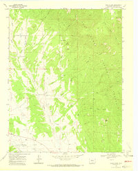
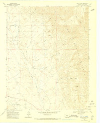
Editions of this 1969 Badito Cone Map
3 editions found
Other maps of this area

1889 · Huerfano Park
USGS Topo · 1:125,000

1891 · Walsenburg
USGS Topo · 1:125,000

1892 · Huerfano Park
USGS Topo · 1:125,000

1894 · Walsenburg
USGS Topo · 1:125,000

1897 · Walsenburg
USGS Topo · 1:125,000

1900 · Walsenburg
USGS Topo · 1:125,000

1954 · Trinidad
USGS Topo · 1:250,000

1955 · Trinidad
USGS Topo · 1:250,000

1958 · Trinidad
USGS Topo · 1:250,000

1959 · Trinidad
USGS Topo · 1:250,000