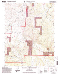
1994 Map of Bear Creek
USGS Topo · Published 1998About this map
Greenhorn Mountain dominates the high elevation landscape of the Isabel National Forest, where the border of Custer and Huerfano counties traverses a series of steep drainages. This high-country survey reveals an area defined by rugged hydrology, including the headwaters of Bear Creek and Turkey Creek Canyon. The terrain is marked by numerous legacy mining indicators, specifically multiple sites labeled simply as Prospect or Prospects, suggesting a history of mineral exploration throughout the gulches and ridges.
Find a feature on this map
33 named features on this map. Tap any name to fly to it.
Don’t see what you’re looking for? This feature index may not catch every label — zoom into the map to look around manually.
Map Details
Editions of this 1994 Bear Creek Map
2 editions found
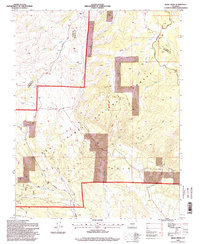
Other maps of this area

1889 · Canon City
USGS Topo · 1:125,000

1889 · Huerfano Park
USGS Topo · 1:125,000

1892 · Huerfano Park
USGS Topo · 1:125,000

1892 · Canon City
USGS Topo · 1:125,000

1954 · Rosita
USGS Topo · 1:24,000

1954 · Trinidad
USGS Topo · 1:250,000

1954 · Pueblo
USGS Topo · 1:250,000

1955 · Trinidad
USGS Topo · 1:250,000

1957 · Pueblo
USGS Topo · 1:250,000

1958 · Trinidad
USGS Topo · 1:250,000