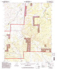
1994 Map of Bear Creek
USGS Topo · Published 1998About this map
The high-altitude drainage of San Isabel National Forest dominates this landscape along the border of Custer and Huerfano counties. The area is defined by a network of steep canyons and water sources, including the prominent Devils Hole and the convergence of the North Fork Bear Creek and South Fork Bear Creek. Human activity is primarily limited to resource extraction and backcountry movement, evidenced by numerous Prospects scattered across the northern slopes and the Horse Ranch Trail cutting through the forest interior.
Find a feature on this map
27 named features on this map. Tap any name to fly to it.
Don’t see what you’re looking for? This feature index may not catch every label — zoom into the map to look around manually.
Map Details
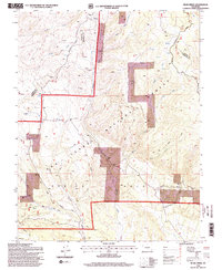
Editions of this 1994 Bear Creek Map
2 editions found
Other maps of this area

1889 · Canon City
USGS Topo · 1:125,000

1889 · Huerfano Park
USGS Topo · 1:125,000

1892 · Huerfano Park
USGS Topo · 1:125,000

1892 · Canon City
USGS Topo · 1:125,000

1954 · Rosita
USGS Topo · 1:24,000

1954 · Trinidad
USGS Topo · 1:250,000

1954 · Pueblo
USGS Topo · 1:250,000

1955 · Trinidad
USGS Topo · 1:250,000

1957 · Pueblo
USGS Topo · 1:250,000

1958 · Trinidad
USGS Topo · 1:250,000