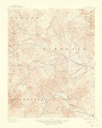
1892 Map of Huerfano Park
USGS Topo · Published 1948About this map
The Huerfano River carves a central valley through this high-altitude landscape, recorded during a reconnaissance survey by A.H. Thompson and Willard D. Johnson. The terrain is defined by the massive peaks of the Sangre de Cristo Mountains to the west and Greenhorn Mt to the east. Early settlements like Gardner, Malachite, and Badito are concentrated along the river valley, while the southern edge of the map shows the strategic transit corridor of the Denver and Rio Grande Railroad.
Find a feature on this map
61 named features on this map. Tap any name to fly to it.
Don’t see what you’re looking for? This feature index may not catch every label — zoom into the map to look around manually.
Map Details
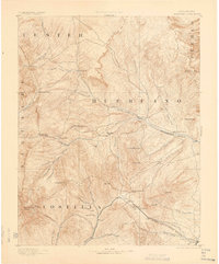
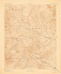
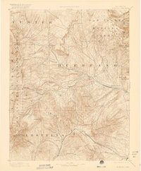
Editions of this 1892 Huerfano Park Map
5 editions found
Other maps of this area

1889 · Canon City
USGS Topo · 1:125,000

1889 · Huerfano Park
USGS Topo · 1:125,000

1891 · Walsenburg
USGS Topo · 1:125,000

1891 · Pueblo
USGS Topo · 1:125,000

1891 · Spanish Peaks
USGS Topo · 1:125,000

1892 · Huerfano Park
USGS Topo · 1:125,000

1892 · Canon City
USGS Topo · 1:125,000

1893 · Spanish Peaks
USGS Topo · 1:125,000

1894 · Walsenburg
USGS Topo · 1:125,000

1894 · Pueblo
USGS Topo · 1:125,000