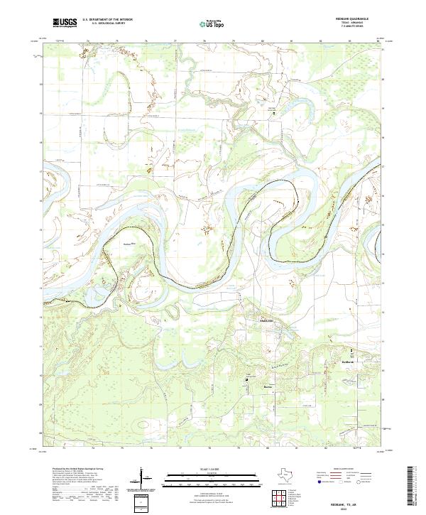
2022 Map of Redbank
USGS Topo · Published 2022About this map
The Red River defines the border between Texas and Arkansas on this 2022 survey, carving a series of dramatic loops including the notable oxbow at Hudson Bow. This landscape is dominated by the complex hydrology of the river's floodplain, where secondary water bodies like Hubbard Slough, Dunn Lake, and LaVoice Lake occupy former channels. The terrain transitions south into the low-lying Black Bottom, a region marked by numerous small ponds and drainage creeks like Barkman Cr.
Find a feature on this map
62 named features on this map. Tap any name to fly to it.
Don’t see what you’re looking for? This feature index may not catch every label — zoom into the map to look around manually.
Map Details
Editions of this 2022 Redbank Map
This is the sole edition of this map. No revisions or reprints were ever made.
Other maps of this area

1909 · New Boston
USGS Topo · 1:62,500

1909 · Texarkana
USGS Topo · 1:62,500

1950 · Redbank
USGS Topo · 1:24,000

1950 · Ashdown West
USGS Topo · 1:24,000

1950 · Barkman
USGS Topo · 1:24,000

1951 · Redbank
USGS Topo · 1:24,000

1951 · Ashdown West
USGS Topo · 1:24,000

1951 · Barkman
USGS Topo · 1:24,000

1951 · Arden
USGS Topo · 1:24,000

1951 · Foreman
USGS Topo · 1:24,000