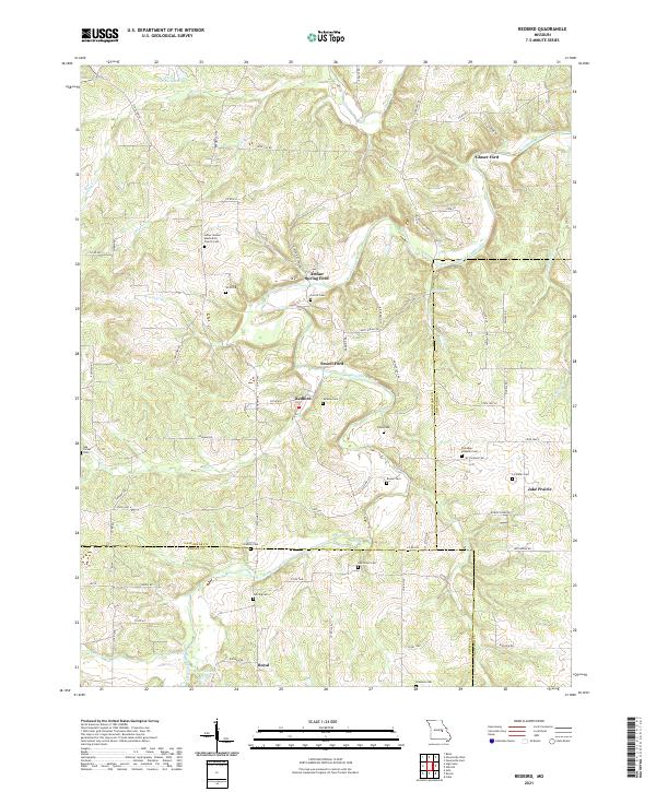
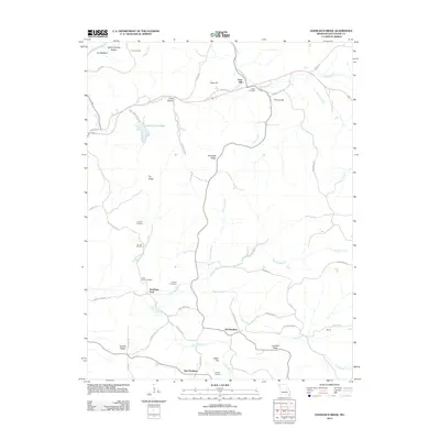
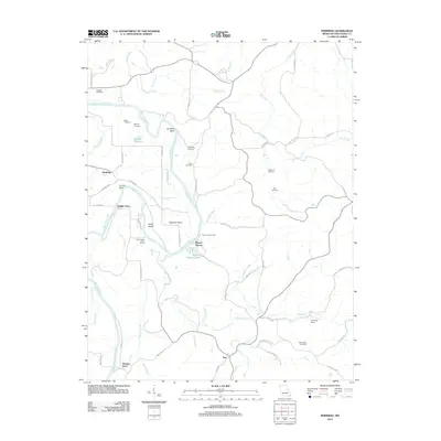
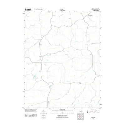
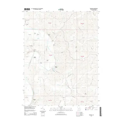
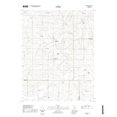
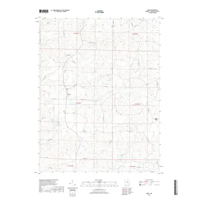
2021 Map of Redbird
USGS Topo · Published 2021About this map
The Bourbeuse River snakes through this Missouri landscape, defining the rural character of Gasconade, Crawford, and Phelps counties. Several historic crossing points remain as named landmarks, including Glaser Ford, Arthur Spring Ford, and Sewell Ford, indicating where travel once relied on seasonal water levels. The settlement at Redbird serves as a central point in a topography marked by numerous small family and community burial grounds, such as the Smith Cem, Sorrell Cem, and the Eldredge McMullin Cem.
Find a feature on this map
79 named features on this map. Tap any name to fly to it.
Don’t see what you’re looking for? This feature index may not catch every label — zoom into the map to look around manually.
Map Details
Editions of this 2021 Redbird Map
This is the sole edition of this map. No revisions or reprints were ever made.
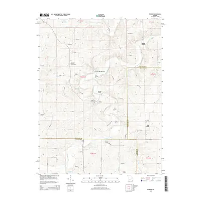
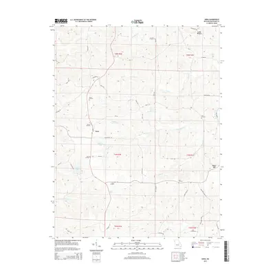
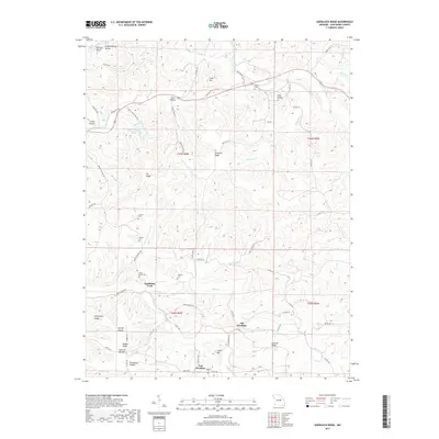
Historical Maps of Jake Prairie Through Time
30 maps found
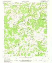
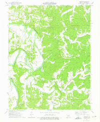
1962 Redbird
Gasconade County, MO
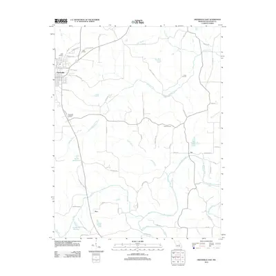
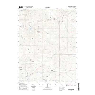
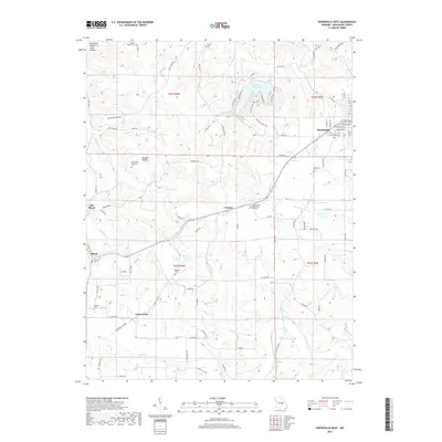
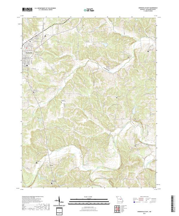
1966 Owensville East
Gasconade County, MO
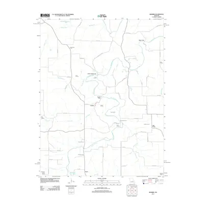
1973 Swiss
Gasconade County, MO
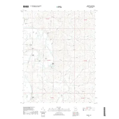
1974 Pershing
Gasconade County, MO
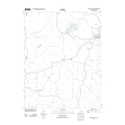
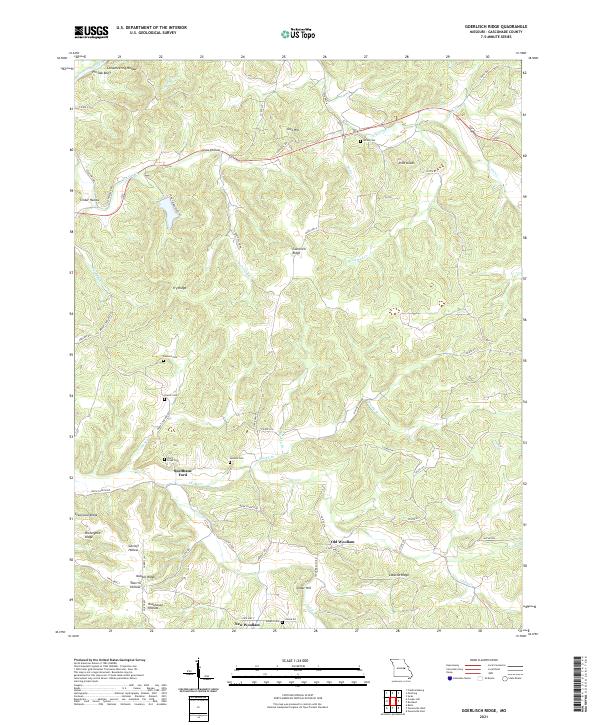
1980 Goerlisch Ridge
Gasconade County, MO
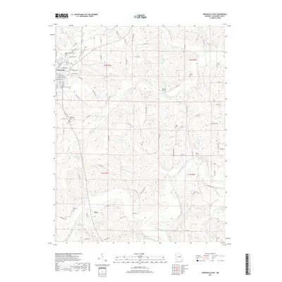
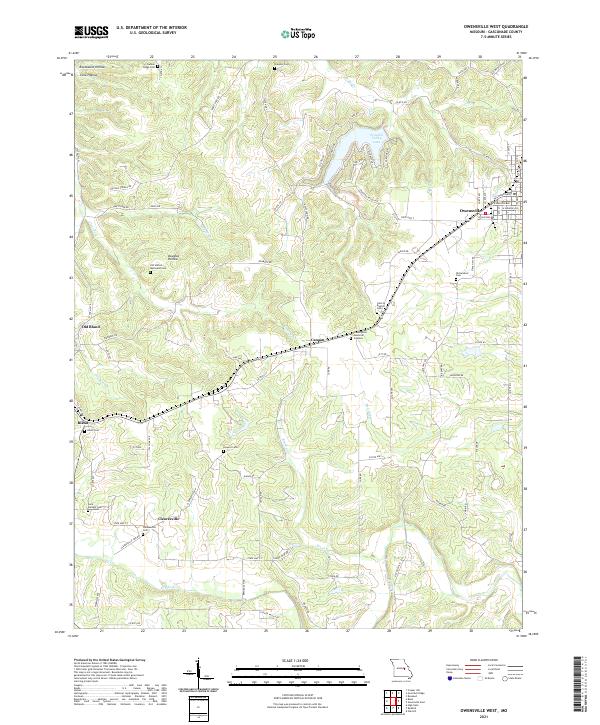
1981 Owensville West
Gasconade County, MO
2012 Goerlisch Ridge
Gasconade County, MO
2012 Owensville East
Gasconade County, MO
2012 Owensville West
Gasconade County, MO
2012 Pershing
Gasconade County, MO
2012 Redbird
Gasconade County, MO
2012 Swiss
Gasconade County, MO
2015 Goerlisch Ridge
Gasconade County, MO
2015 Owensville East
Gasconade County, MO
2015 Owensville West
Gasconade County, MO
2015 Pershing
Gasconade County, MO
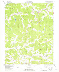
2015 Redbird
Gasconade County, MO
2015 Swiss
Gasconade County, MO
2017 Goerlisch Ridge
Gasconade County, MO
2017 Owensville East
Gasconade County, MO
2017 Owensville West
Gasconade County, MO
2017 Pershing
Gasconade County, MO
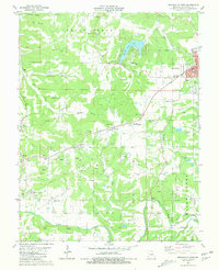
2017 Redbird
Gasconade County, MO
2017 Swiss
Gasconade County, MO
2021 Goerlisch Ridge
Gasconade County, MO
2021 Owensville East
Gasconade County, MO
2021 Owensville West
Gasconade County, MO
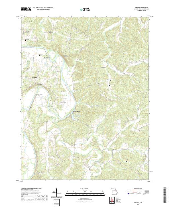
2021 Pershing
Gasconade County, MO
2021 Redbird
Gasconade County, MO
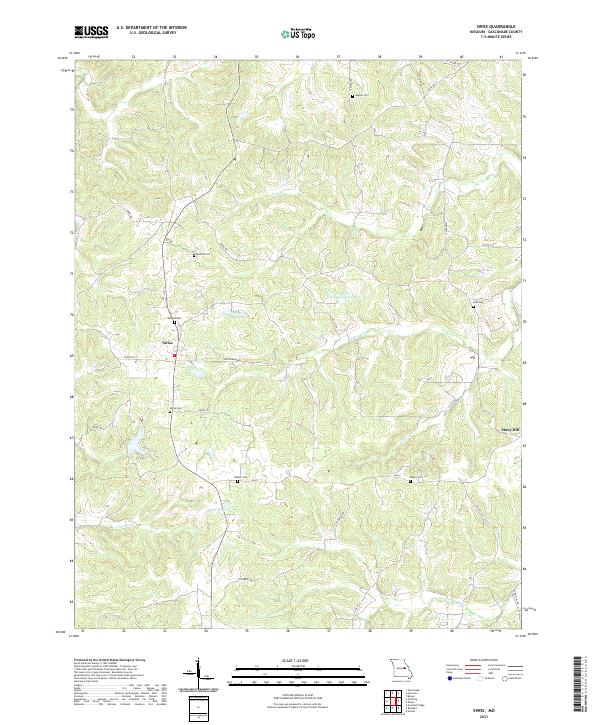
2021 Swiss
Gasconade County, MO