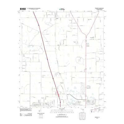
2012 Map of Reddick
USGS Topo · Published 2012About this map
Reddick and the surrounding Marion County countryside are defined by a mix of agricultural heritage and modern aviation infrastructure in this 2012 survey. A string of small communities, including Lowell, Martin, Zuber, and Kendrick, follow the historic corridor of NW Gainesville Rd, while newer residential developments like Regal Park and Ocala Park Ranch occupy the southern reaches. The landscape is notably dotted with private airstrips and aviation-themed properties, such as the Jumbolair-Greystone Airport, Lee Farms Airport, and Wings-n-Wheels Airport. Genealogical and local history points of interest include the Union Cem and the North Marion High School Football Stadium. Transportation is anchored by major thoroughfares like CO Hwy-316 and CO Hwy-329, which connect these rural settlements to the regional economy of north-central Florida.
Find a feature on this map
83 named features on this map. Tap any name to fly to it.
Don’t see what you’re looking for? This feature index may not catch every label — zoom into the map to look around manually.
Map Details
Editions of this 2012 Reddick Map
This is the sole edition of this map. No revisions or reprints were ever made.
Other maps of this area

1892 · Dunnellon
USGS Topo · 1:62,500

1893 · Citra
USGS Topo · 1:62,500

1894 · Dunnellon
USGS Topo · 1:62,500

1895 · Williston
USGS Topo · 1:62,500

1895 · Citra
USGS Topo · 1:62,500

1895 · Ocala
USGS Topo · 1:62,500

1954 · Cotton Plant
USGS Topo · 1:24,000

1954 · Dunnellon
USGS Topo · 1:62,500

1954 · Gainesville
USGS Topo · 1:250,000

1958 · Gainesville
USGS Topo · 1:250,000