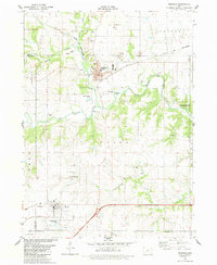
2022 Map of Redfield
USGS Topo · Published 2022About this map
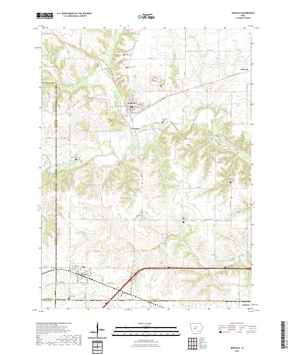
Redfield and Wiscotta sit at the confluence of the Middle Raccoon River and the South Raccoon River, a geographic heart for this part of Dallas County. The landscape is defined by the winding paths of these waterways and their tributaries, including Mosquito Cr and Bear Cr. Settlement patterns follow the river valleys and the multi-use Raccoon River Valley Trl, which skirts the northern edge of Redfield before heading northeast toward Kennedy. Numerous family and pioneer burial sites like Harper Cem, Spillers Cem, and Wiscotta Cem are situated on the higher ground overlooking the river bottoms. To the south, the city of Dexter anchors the map near the border of Guthrie and Adair counties, while the outskirts of Earlham appear at the southeastern corner. This survey documents the modern intersection of historic river settlements and established rural road networks like CO Hwy P46.
Find a feature on this map
68 named features on this map. Tap any name to fly to it.
Don’t see what you’re looking for? This feature index may not catch every label — zoom into the map to look around manually.
Map Details
Editions of this 2022 Redfield Map
This is the sole edition of this map. No revisions or reprints were ever made.
Historical Maps of Earlham Through Time
6 maps found