Loading...
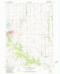
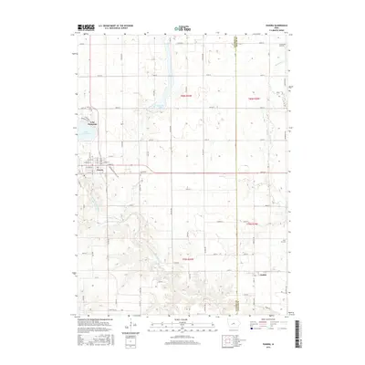
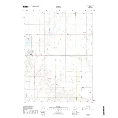
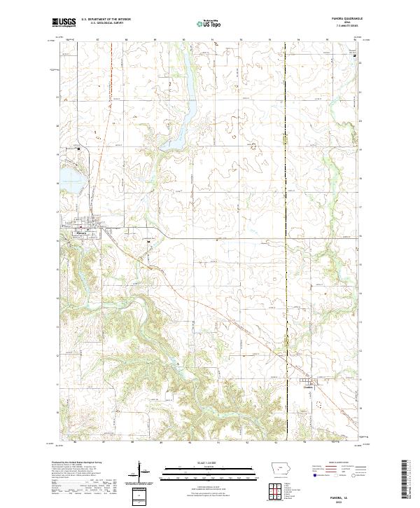
Loading map...1982 Map of Panora
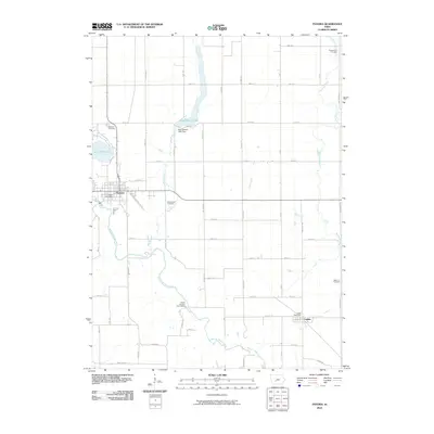
USGS Topo · Published 1983About this map
The Middle Raccoon River winds through the heart of Guthrie County, anchoring a landscape defined by significant conservation areas and the expansion of residential water features. By the early 1980s, Lake Panorama had become a dominant geographical landmark northwest of Panora, reflecting the transition of rural land into recreational use. The town of Panora serves as the primary hub, where researchers can find the Panora-Linden High Sch and the Greenwood Cem.
Find a feature on this map
30 named features on this map. Tap any name to fly to it.
Don’t see what you’re looking for? This feature index may not catch every label — zoom into the map to look around manually.
Map Details
Date Portrayed1982
Date Published1983
PublisherU.S. Geological Survey
Map TypeTopographic
Scale1:24,000
Physical Dimensions21.9 x 26.8 inches
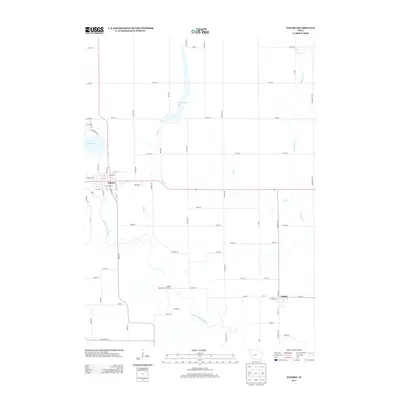
Editions of this 1982 Panora Map
This is the sole edition of this map. No revisions or reprints were ever made.
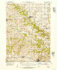
Historical Maps of Panora Through Time
7 maps found
Featured Locations
Source Details
SourceU.S. Geological Survey
CopyrightPublic Domain