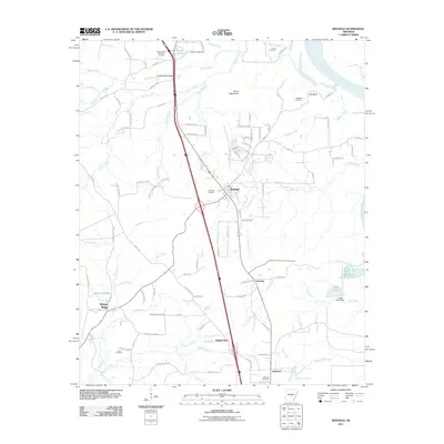
2011 Map of Redfield
USGS Topo · Published 2011About this map
Redfield serves as the central hub of this Jefferson County landscape, situated where the terrain transitions toward the eastern Arkansas River bottoms. The area's social history is anchored by numerous burial grounds, including Redfield Cemetery, Jones Cemetery, and Harris Cemetery, which reflect generations of local settlement. To the south, smaller communities like Jefferson and Kearney line the corridor, while Walnut Ridge marks the southwestern reach. The topography is defined by notable elevations such as Counterfeit Ridge and the Harris Mountains, while the industrial footprint of the early 21st century is evident in the Clean-Water Holding Pond and Surge Pond located east of Kearney. A dense network of forest roads, such as Forestry Road 9955, suggests the ongoing importance of timber and land management in the western portion of the quadrangle.
Find a feature on this map
107 named features on this map. Tap any name to fly to it.
Don’t see what you’re looking for? This feature index may not catch every label — zoom into the map to look around manually.
Map Details
Editions of this 2011 Redfield Map
This is the sole edition of this map. No revisions or reprints were ever made.
Other maps of this area

1891 · Little Rock
USGS Topo · 1:125,000

1893 · Little Rock
USGS Topo · 1:125,000

1932 · Pastoria
USGS Topo · 1:62,500

1935 · Alexander
USGS Topo · 1:48,000

1935 · Pastoria
USGS Topo · 1:62,500

1939 · Keo
USGS Topo · 1:31,680

1940 · Woodson
USGS Topo · 1:31,680

1941 · Alexander
USGS Topo · 1:62,500

1941 · Keo
USGS Topo · 1:31,680

1944 · Spring Lake
USGS Topo · 1:31,680