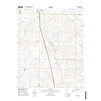
2017 Map of Redfield
USGS Topo · Published 2017About this map
The Arkansas River forms a sweeping boundary at Harris Bend, defining the eastern edge of this Jefferson County landscape. This 2017 survey details the corridor between Little Rock and Pine Bluff, anchored by the town of Redfield. Settlement patterns follow the high ground away from the river's floodplain, with smaller communities like Hensley, Kearney, and Jefferson clustered along the primary transit lines. Significant landmarks include the Harris Mountains and Counterfeit Ridge, which rise above the surrounding creeks and bayous.
Find a feature on this map
133 named features on this map. Tap any name to fly to it.
Don’t see what you’re looking for? This feature index may not catch every label — zoom into the map to look around manually.
Map Details
Editions of this 2017 Redfield Map
This is the sole edition of this map. No revisions or reprints were ever made.
Other maps of this area

1891 · Little Rock
USGS Topo · 1:125,000

1893 · Little Rock
USGS Topo · 1:125,000

1932 · Pastoria
USGS Topo · 1:62,500

1935 · Alexander
USGS Topo · 1:48,000

1935 · Pastoria
USGS Topo · 1:62,500

1939 · Keo
USGS Topo · 1:31,680

1940 · Woodson
USGS Topo · 1:31,680

1941 · Alexander
USGS Topo · 1:62,500

1941 · Keo
USGS Topo · 1:31,680

1944 · Spring Lake
USGS Topo · 1:31,680