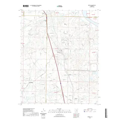
2024 Map of Redfield
USGS Topo · Published 2024About this map
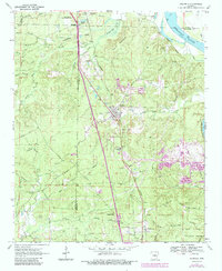
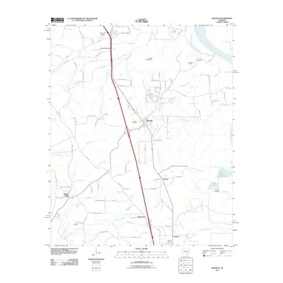
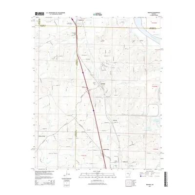
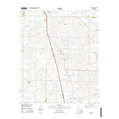
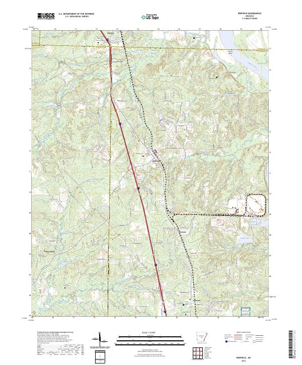
Redfield and the neighboring settlements of Hensley, Kearney, and Jefferson occupy a transitional landscape where the rising terrain of the Harris Mountains meets the wide Arkansas River floodplain. The geography is defined by a dense network of drainage, including Tar Camp Creek and Simpson Creek, which have carved the surrounding ridges like Counterfeit Ridge and Walnut Ridge. This 2024 survey captures the area's rural character and long-standing community infrastructure, evidenced by numerous burial grounds such as Redfield Cem, Jones Cem, and the Red Bluff Cem near the river bend. The southeastern portion of the map is dominated by a section of the Pine Bluff Arsenal, while local history is further anchored by landmarks like Happy Home and the prominent Red Bluff overlooking the river's Harris Bend.
Find a feature on this map
141 named features on this map. Tap any name to fly to it.
Don’t see what you’re looking for? This feature index may not catch every label — zoom into the map to look around manually.
Map Details
Editions of this 2024 Redfield Map
This is the sole edition of this map. No revisions or reprints were ever made.
Historical Maps of Redfield Through Time
6 maps found