
1985 Map of Redfield
USGS Topo · Published 1986About this map
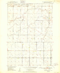
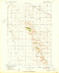
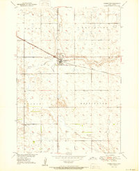
Redfield sits at the heart of this mid-1980s landscape, serving as a hub for the Chicago and North Western railroad lines that crisscross the prairie. This planimetric survey documents a vast agricultural and conservation network defined by the sprawling James River valley and numerous designated wildlife zones, including the extensive National Waterfowl Production Area and several State Game Production Areas. The settlement pattern reflects the importance of the rail corridors, with towns like Frankfort, Doland, and Tulare positioned along the tracks.
Find a feature on this map
92 named features on this map. Tap any name to fly to it.
Don’t see what you’re looking for? This feature index may not catch every label — zoom into the map to look around manually.
Map Details
Editions of this 1985 Redfield Map
This is the sole edition of this map. No revisions or reprints were ever made.
Other maps of this area

1894 · Conde
USGS Topo · 1:62,500

1895 · Byron
USGS Topo · 1:125,000

1895 · Aberdeen
USGS Topo · 1:125,000

1898 · Huron
USGS Topo · 1:125,000

1899 · Northville
USGS Topo · 1:125,000

1899 · Redfield
USGS Topo · 1:125,000

1899 · De Smet
USGS Topo · 1:125,000
1950 · Ree Heights SE
USGS Topo · 1:24,000
1950 · Vayland
USGS Topo · 1:24,000
1950 · Wessington
USGS Topo · 1:24,000