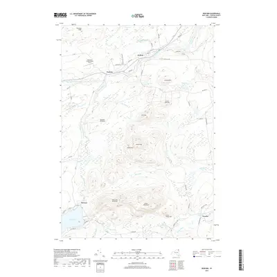
2019 Map of Redford
USGS Topo · Published 2019About this map
The Saranac River and its North Branch Saranac River converge near the settlements of Redford and Clayburg, defining the local geography of this northern New York landscape. This 2019 survey captures the area within the Adirondack Park Preserve, where the transition from river valley to high peaks is marked by landforms like Tolman Mtn and Signal Peak. The small community of Hawkeye sits at the northern tip of Silver Lake, while the hamlet of Swastika is located to the southeast along Black Brook.
Find a feature on this map
59 named features on this map. Tap any name to fly to it.
Don’t see what you’re looking for? This feature index may not catch every label — zoom into the map to look around manually.
Map Details
Editions of this 2019 Redford Map
This is the sole edition of this map. No revisions or reprints were ever made.
Other maps of this area

1895 · Ausable
USGS Topo · 1:62,500

1896 · Lake Placid
USGS Topo · 1:62,500

1898 · Lake Placid
USGS Topo · 1:62,500

1903 · Ausable
USGS Topo · 1:62,500

1911 · Lyon Mountain
USGS Topo · 1:62,500

1913 · Dannemora
USGS Topo · 1:62,500

1913 · Lyon Mountain
USGS Topo · 1:62,500

1931 · Lyon Mountain
USGS Topo · 1:62,500

1950 · Lake Champlain
USGS Topo · 1:250,000

1953 · Lake Placid
USGS Topo · 1:62,500