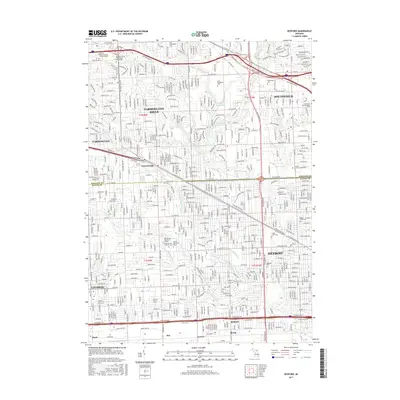
2017 Map of Redford
USGS Topo · Published 2017About this map
Farmington Hills and Southfield characterize the dense suburban layout of this Oakland and Wayne County corridor. The area is defined by a rigorous grid of major arteries, including Grand River Ave and the Northwestern Hwy, which facilitate movement through a landscape of residential neighborhoods and prominent institutions. Educational hubs like the Oakland Community College Orchard Ridge campus and Lawrence Technological University are central to the district's modern identity.
Find a feature on this map
52 named features on this map. Tap any name to fly to it.
Don’t see what you’re looking for? This feature index may not catch every label — zoom into the map to look around manually.
Map Details
Editions of this 2017 Redford Map
This is the sole edition of this map. No revisions or reprints were ever made.
Other maps of this area

1905 · Wayne
USGS Topo · 1:62,500

1905 · Detroit
USGS Topo · 1:62,500

1907 · Pontiac
USGS Topo · 1:62,500

1908 · Rochester
USGS Topo · 1:62,500

1912 · Wayne
USGS Topo · 1:62,500

1918 · Detroit
USGS Topo · 1:62,500

1924 · Detroit
USGS Topo · 1:62,500

1934 · Detroit
USGS Topo · 1:62,500

1936 · Inkster
USGS Topo · 1:31,680

1936 · Wayne
USGS Topo · 1:31,680