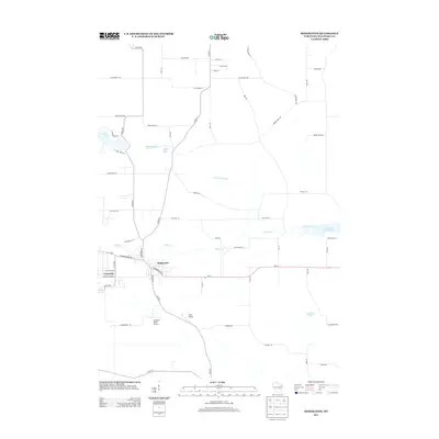
2013 Map of Redgranite
USGS Topo · Published 2013About this map
Redgranite and Lohrville anchor the central portion of this landscape in eastern Waushara County, situated along the path of WI-21. The surrounding terrain is defined by its glacial hydrology, featuring a network of kettle lakes including Pearl Lake, Middle Lake, and Taylor Lake to the northwest, alongside the larger Jordans Lake to the southeast. The area's drainage is primarily managed by Willow Cr, which flows eastward toward the Auroraville Millpond 80. This survey provides a clear view of the rural road grid, where names like Chicago Rd and Blackhawk Rd reveal local transit patterns between small settlements and regional hubs. Aviation is represented in the local infrastructure by Harju Airport and the descriptively named Buzzards Roost Airport south of the main settlements, reflecting the varied land use of this central Wisconsin region.
Find a feature on this map
58 named features on this map. Tap any name to fly to it.
Don’t see what you’re looking for? This feature index may not catch every label — zoom into the map to look around manually.
Map Details
Editions of this 2013 Redgranite Map
This is the sole edition of this map. No revisions or reprints were ever made.
Other maps of this area

1915 · Neshkoro
USGS Topo · 1:48,000

1916 · Ripon
USGS Topo · 1:48,000

1918 · Neshkoro
USGS Topo · 1:62,500

1918 · Ripon
USGS Topo · 1:62,500

1955 · Green Bay
USGS Topo · 1:250,000

1956 · Ripon
USGS Topo · 1:62,500

1957 · Madison
USGS Topo · 1:250,000

1960 · Madison
USGS Topo · 1:250,000

1961 · Poy Sippi
USGS Topo · 1:62,500

1961 · Redgranite
USGS Topo · 1:62,500