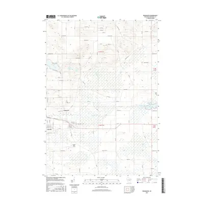
2015 Map of Redgranite
USGS Topo · Published 2015About this map
Redgranite and the village of Lohrville center this portrait of Waushara County, where the landscape is defined by a dense network of wetlands and small glacial lakes. The village centers are situated near the headwaters of Willow Cr, a stream that feeds into the Auroraville Millpond and Mill Pond to the east. These water bodies, along with the cluster of Pearl Lake, Middle Lake, and Taylor Lake in the northwest, speak to the area's geological character and long-standing recreation and milling history.
Find a feature on this map
80 named features on this map. Tap any name to fly to it.
Don’t see what you’re looking for? This feature index may not catch every label — zoom into the map to look around manually.
Map Details
Editions of this 2015 Redgranite Map
This is the sole edition of this map. No revisions or reprints were ever made.
Other maps of this area

1915 · Neshkoro
USGS Topo · 1:48,000

1916 · Ripon
USGS Topo · 1:48,000

1918 · Neshkoro
USGS Topo · 1:62,500

1918 · Ripon
USGS Topo · 1:62,500

1955 · Green Bay
USGS Topo · 1:250,000

1956 · Ripon
USGS Topo · 1:62,500

1957 · Madison
USGS Topo · 1:250,000

1960 · Madison
USGS Topo · 1:250,000

1961 · Poy Sippi
USGS Topo · 1:62,500

1961 · Redgranite
USGS Topo · 1:62,500