
2011 Map of Redland
USGS Topo · Published 2011About this map
Clear Creek and the Clackamas River define the hydrography of this Clackamas County landscape, where the rural settlements of Redland and Viola serve as local anchors. The map reveals a high density of family and community burial grounds, including the Redland Cemetery, Viola Cemetery, Sprague Cemetery, and Fellows Cemetery, which provide significant points of interest for genealogical research. The local economy and transport history are evident in features like Fischers Mill and the Feldheimer Ferry crossing on the river.
Find a feature on this map
110 named features on this map. Tap any name to fly to it.
Don’t see what you’re looking for? This feature index may not catch every label — zoom into the map to look around manually.
Map Details
Editions of this 2011 Redland Map
This is the sole edition of this map. No revisions or reprints were ever made.
Other maps of this area
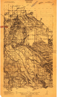
1911 · Boring
USGS Topo · 1:48,000
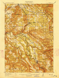
1914 · Boring
USGS Topo · 1:62,500
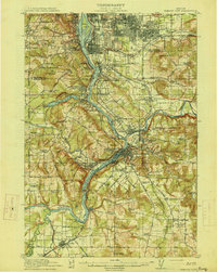
1914 · Oregon City
USGS Topo · 1:62,500
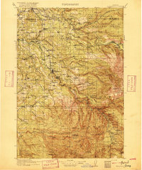
1916 · Estacada
USGS Topo · 1:125,000
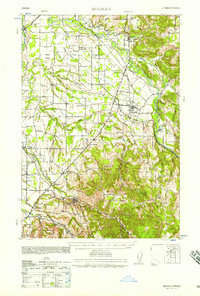
1939 · Molalla
USGS Topo · 1:62,500
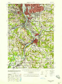
1939 · Oregon City
USGS Topo · 1:62,500
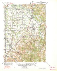
1940 · Molalla
USGS Topo · 1:62,500
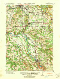
1940 · Boring
USGS Topo · 1:62,500
1941 · Oregon City
USGS Topo · 1:62,500

1948 · Vancouver
USGS Topo · 1:250,000