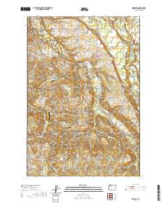
2020 Map of Redland
USGS Topo · Published 2020About this map
Redland and Logan anchor the northern landscape of this Clackamas County region, where the terrain begins to ripple toward the Cascades. The map reveals a community defined by its rural intersections and family-named infrastructure, such as S Fischers Mill Rd and S Redland Rd. The Clackamas River cuts through the northeastern corner, joined by tributaries like Clear Creek and Foster Creek. Genealogists will find a wealth of local history in the numerous burial grounds scattered throughout the area, including Redland Cem, Viola Cem, and Fellows Cem. Small-scale aviation is represented by Warner's Airport and Skyhill Airport, while prominent natural features like The Hogback and Cedarhurst Park provide geographic context to the residential and agricultural tracts that characterize the district south of Eagle Creek.
Find a feature on this map
114 named features on this map. Tap any name to fly to it.
Don’t see what you’re looking for? This feature index may not catch every label — zoom into the map to look around manually.
Map Details
Editions of this 2020 Redland Map
This is the sole edition of this map. No revisions or reprints were ever made.
Other maps of this area

1911 · Boring
USGS Topo · 1:48,000

1914 · Boring
USGS Topo · 1:62,500

1914 · Oregon City
USGS Topo · 1:62,500

1916 · Estacada
USGS Topo · 1:125,000

1939 · Molalla
USGS Topo · 1:62,500

1939 · Oregon City
USGS Topo · 1:62,500

1940 · Molalla
USGS Topo · 1:62,500

1940 · Boring
USGS Topo · 1:62,500

1941 · Oregon City
USGS Topo · 1:62,500

1948 · Vancouver
USGS Topo · 1:250,000