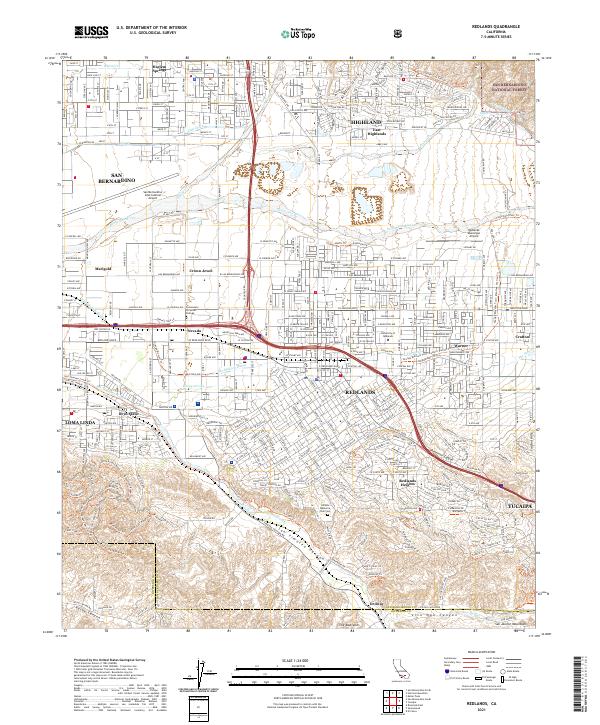
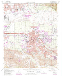
2021 Map of Redlands
USGS Topo · Published 2021About this map
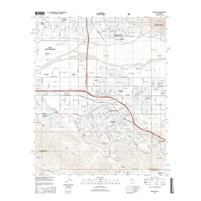
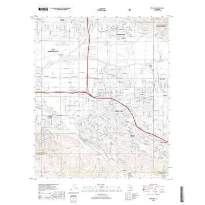
The Santa Ana River and the historic watercourse of The Mission Zanja anchor this landscape, documenting the complex irrigation and settlement patterns of the Inland Empire. The map illustrates the dense street grids of Redlands and Highland, separated by the river's broad wash and the open spaces of the San Bernardino International Airport. Institutional presence is significant, featuring the University of Redlands and Hillside Memorial Park Cem, while smaller neighborhoods like Bryn Mawr and Harlem Springs provide granular detail for local historians.
Find a feature on this map
57 named features on this map. Tap any name to fly to it.
Don’t see what you’re looking for? This feature index may not catch every label — zoom into the map to look around manually.
Map Details
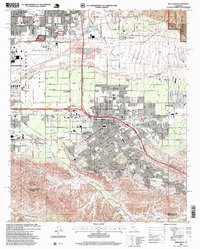
Editions of this 2021 Redlands Map
This is the sole edition of this map. No revisions or reprints were ever made.
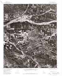
Historical Maps of Redlands Through Time
11 maps found

1899 Redlands
San Bernardino County, CA
1901 Redlands
San Bernardino County, CA
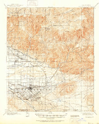
1954 Redlands
San Bernardino County, CA
1954 Redlands
San Bernardino County, CA
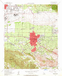
1967 Redlands
San Bernardino County, CA
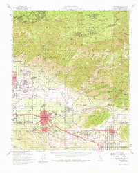
1975 Redlands
San Bernardino County, CA
1996 Redlands
San Bernardino County, CA
2012 Redlands
San Bernardino County, CA
2015 Redlands
San Bernardino County, CA
2018 Redlands
San Bernardino County, CA
2021 Redlands
San Bernardino County, CA