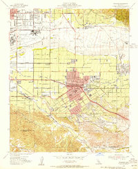
1954 Map of Redlands
USGS Topo · Published 1955About this map
Redlands serves as the focal point of this mid-century survey, surrounded by a landscape defined by the citrus industry and a complex network of rail and water infrastructure. The irrigation needs of the San Bernardino Valley are evident through features like the Zanja and numerous reservoirs, while the agricultural heritage of the era is marked by packing and shipping points such as Sunkist and Crown Jewel. A dense grid of schools—including Kingsbury Sch, Franklin Sch, and McKinley Sch—radiates from the city center toward the University of Redlands.
Find a feature on this map
52 named features on this map. Tap any name to fly to it.
Don’t see what you’re looking for? This feature index may not catch every label — zoom into the map to look around manually.
Map Details
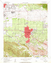
Editions of this 1954 Redlands Map
2 editions found
Other maps of this area

1896 · San Bernardino
USGS Topo · 1:62,500

1898 · San Bernardino
USGS Topo · 1:62,500

1899 · Redlands
USGS Topo · 1:62,500

1901 · Southern California Sheet No. 1
USGS Topo · 1:250,000

1901 · San Bernardino
USGS Topo · 1:62,500

1901 · Redlands
USGS Topo · 1:62,500

1901 · Elsinore
USGS Topo · 1:125,000

1901 · Riverside
USGS Topo · 1:62,500

1904 · Southern California Sheet No. 1
USGS Topo · 1:250,000

1936 · Arrowhead
USGS Topo · 1:31,680