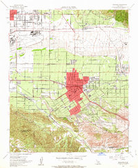
1954 Map of Redlands
USGS Topo · Published 1963About this map
The citrus-belt landscape of Redlands is meticulously documented in this mid-century survey, showing the complex web of irrigation and transportation that sustained the San Bernardino Valley. The city's growth is anchored by institutions like the University of Redlands and the San Gabriel Mission Asistencia, while the northern portion of the sheet is dominated by the sprawling operations of Norton Air Force Base. The transition from urban centers to industrial agriculture is evident in the numerous packing centers and water management features like the Zanja and Santa Ana River levee systems.
Find a feature on this map
55 named features on this map. Tap any name to fly to it.
Don’t see what you’re looking for? This feature index may not catch every label — zoom into the map to look around manually.
Map Details
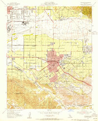
Editions of this 1954 Redlands Map
2 editions found
Other maps of this area

1896 · San Bernardino
USGS Topo · 1:62,500

1898 · San Bernardino
USGS Topo · 1:62,500

1899 · Redlands
USGS Topo · 1:62,500

1901 · Southern California Sheet No. 1
USGS Topo · 1:250,000

1901 · San Bernardino
USGS Topo · 1:62,500

1901 · Redlands
USGS Topo · 1:62,500

1901 · Elsinore
USGS Topo · 1:125,000

1901 · Riverside
USGS Topo · 1:62,500

1904 · Southern California Sheet No. 1
USGS Topo · 1:250,000

1936 · Arrowhead
USGS Topo · 1:31,680