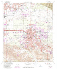
1967 Map of Redlands
USGS Topo · Published 1988About this map
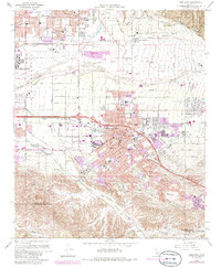
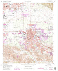
Redlands and its surrounding citrus-growing heritage are captured here in late-century detail, showing the city's expansion alongside the Santa Ana River and Santa Ana Wash. The urban core is anchored by City Hall, the University of Redlands, and the historic The Zanja irrigation canal, which once provided essential water to the region's orchards. To the north, Norton Air Force Base marks the Cold War-era military footprint on the San Bernardino valley, while the eastern edge transition toward the San Bernardino National Forest. Transportation routes such as the Atchison Topeka and Santa Fe and the Pacific Electric railroad lines highlight the area's role as a transit hub. Neighborhoods like Bryn Mawr, Mentone, and Harlem Springs reveal the settlement patterns of San Bernardino County before the most intense modern suburban infill. From the Hillside Cem to the local campuses like Clements Jr High Sch, the map preserves a specific cultural landscape of schools, churches, and civic infrastructure.
Find a feature on this map
60 named features on this map. Tap any name to fly to it.
Don’t see what you’re looking for? This feature index may not catch every label — zoom into the map to look around manually.
Map Details
Editions of this 1967 Redlands Map
6 editions found
Other maps of this area

1896 · San Bernardino
USGS Topo · 1:62,500

1898 · San Bernardino
USGS Topo · 1:62,500

1899 · Redlands
USGS Topo · 1:62,500

1901 · Southern California Sheet No. 1
USGS Topo · 1:250,000

1901 · San Bernardino
USGS Topo · 1:62,500

1901 · Redlands
USGS Topo · 1:62,500

1901 · Elsinore
USGS Topo · 1:125,000

1901 · Riverside
USGS Topo · 1:62,500

1904 · Southern California Sheet No. 1
USGS Topo · 1:250,000

1936 · Arrowhead
USGS Topo · 1:31,680