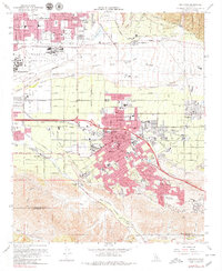
1967 Map of Redlands
USGS Topo · Published 1979About this map
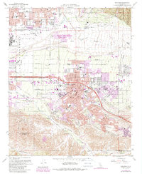
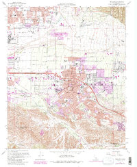
Redlands is the focal point of this late 1960s survey, illustrating a period of significant suburban expansion and institutional growth. The city is dense with civic and educational landmarks, including City Hall, the Armory, and a high concentration of neighborhood schools such as Franklin Sch and Lugonia Sch. The surrounding landscape is defined by the broad Santa Ana Wash to the north and the deep incisions of San Timoteo Canyon and Live Oak Canyon to the south.
Find a feature on this map
67 named features on this map. Tap any name to fly to it.
Don’t see what you’re looking for? This feature index may not catch every label — zoom into the map to look around manually.
Map Details
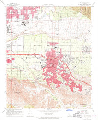
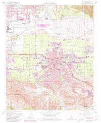
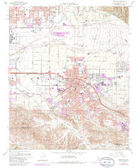
Editions of this 1967 Redlands Map
6 editions found
Other maps of this area

1896 · San Bernardino
USGS Topo · 1:62,500

1898 · San Bernardino
USGS Topo · 1:62,500

1899 · Redlands
USGS Topo · 1:62,500

1901 · Southern California Sheet No. 1
USGS Topo · 1:250,000

1901 · San Bernardino
USGS Topo · 1:62,500

1901 · Redlands
USGS Topo · 1:62,500

1901 · Elsinore
USGS Topo · 1:125,000

1901 · Riverside
USGS Topo · 1:62,500

1904 · Southern California Sheet No. 1
USGS Topo · 1:250,000

1936 · Arrowhead
USGS Topo · 1:31,680