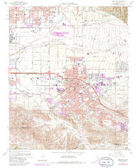
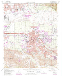
1967 Map of Redlands
USGS Topo · Published 1986About this map
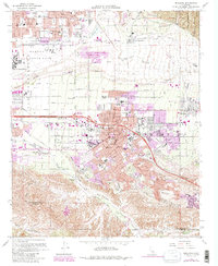
The citrus-growing heritage and post-war suburban expansion of the Inland Empire are evident across the valley floor. Redlands serves as the central hub, surrounded by smaller communities such as Mentone, Bryn Mawr, and Harlem Springs. The agricultural legacy is anchored by packing and storage labels like Sunkist and Crown Jewel, while the transition to a modern infrastructure is marked by the presence of Norton Air Force Base and the San Bernardino Freeway. In the southern reaches, the map captures the transition from developed neighborhoods to the more natural landscapes of San Timoteo Canyon and Live Oak Canyon. Cultural landmarks like the San Bernardino Asistencia and Hillside Cem provide historical depth, while the Southern Pacific and Atchison Topeka And Santa Fe railroads illustrate the transportation networks that originally fueled the region's growth.
Find a feature on this map
64 named features on this map. Tap any name to fly to it.
Don’t see what you’re looking for? This feature index may not catch every label — zoom into the map to look around manually.
Map Details
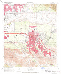
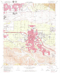
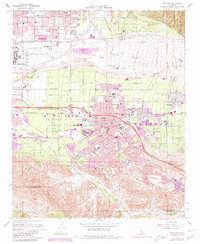
Editions of this 1967 Redlands Map
6 editions found
Other maps of this area

1896 · San Bernardino
USGS Topo · 1:62,500

1898 · San Bernardino
USGS Topo · 1:62,500

1899 · Redlands
USGS Topo · 1:62,500

1901 · Southern California Sheet No. 1
USGS Topo · 1:250,000

1901 · San Bernardino
USGS Topo · 1:62,500

1901 · Redlands
USGS Topo · 1:62,500

1901 · Elsinore
USGS Topo · 1:125,000

1901 · Riverside
USGS Topo · 1:62,500

1904 · Southern California Sheet No. 1
USGS Topo · 1:250,000

1936 · Arrowhead
USGS Topo · 1:31,680