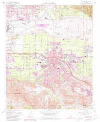
1967 Map of Redlands
USGS Topo · Published 1980About this map
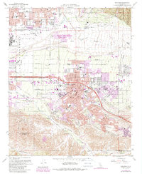
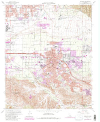
Redlands and its surrounding citrus-growing heritage are captured here during a period of significant suburban expansion and infrastructure development. The city's cultural heart is well-defined, featuring landmarks like the Univ of Redlands, City Hall, and the historic San Bernardino Asistencia. To the north and west, the landscape is shaped by the wide Santa Ana Wash and the sprawling Norton Air Force Base, while the southern reaches are defined by the winding San Timoteo Canyon and the Hillside Cem.
Find a feature on this map
54 named features on this map. Tap any name to fly to it.
Don’t see what you’re looking for? This feature index may not catch every label — zoom into the map to look around manually.
Map Details
Editions of this 1967 Redlands Map
6 editions found
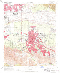
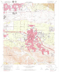
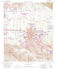
Other maps of this area

1896 · San Bernardino
USGS Topo · 1:62,500

1898 · San Bernardino
USGS Topo · 1:62,500

1899 · Redlands
USGS Topo · 1:62,500

1901 · Southern California Sheet No. 1
USGS Topo · 1:250,000

1901 · San Bernardino
USGS Topo · 1:62,500

1901 · Redlands
USGS Topo · 1:62,500

1901 · Elsinore
USGS Topo · 1:125,000

1901 · Riverside
USGS Topo · 1:62,500

1904 · Southern California Sheet No. 1
USGS Topo · 1:250,000

1936 · Arrowhead
USGS Topo · 1:31,680