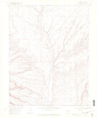
1968 Map of Redmesa
USGS Topo · Published 1972About this map
Redmesa and Marvel anchor the high plateau of Red Mesa in this late 1960s survey of the Colorado-New Mexico borderlands. The landscape is defined by the La Plata River and an intricate network of seasonal drainage systems, including Silva Arroyo, Johnny Pond Arroyo, and Dawson Arroyo. Evidence of early agricultural infrastructure is visible through the winding paths of the Pioneer Ditch and Enterprise Ditch, while the region's industrial footprint is marked by numerous Oil Wells and a prominent Pipeline cutting across the terrain.
Find a feature on this map
39 named features on this map. Tap any name to fly to it.
Don’t see what you’re looking for? This feature index may not catch every label — zoom into the map to look around manually.
Map Details
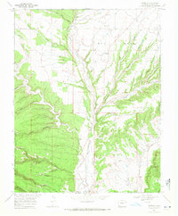
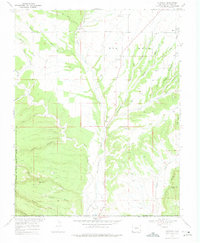
Editions of this 1968 Redmesa Map
3 editions found
Other maps of this area

1889 · Chaco
USGS Topo · 1:250,000

1892 · Chaco
USGS Topo · 1:250,000

1912 · Soda Canyon
USGS Topo · 1:62,500

1913 · Red Mesa
USGS Topo · 1:62,500

1915 · Soda Canyon
USGS Topo · 1:62,500

1954 · Shiprock
USGS Topo · 1:250,000

1956 · Cortez
USGS Topo · 1:250,000

1958 · Cortez
USGS Topo · 1:250,000

1958 · Shiprock
USGS Topo · 1:250,000

1959 · Shiprock
USGS Topo · 1:250,000