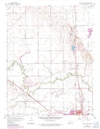
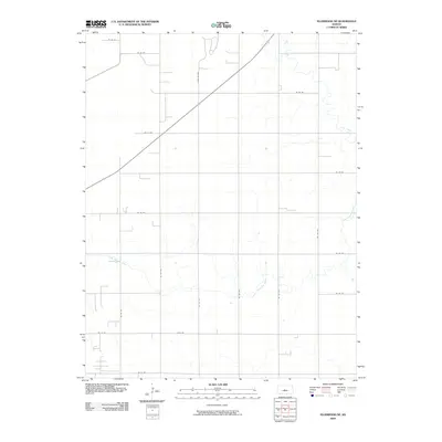
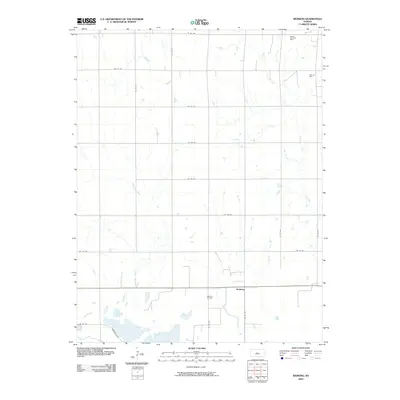
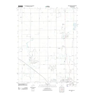
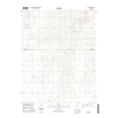
1969 Map of Redwing
USGS Topo · Published 1971About this map
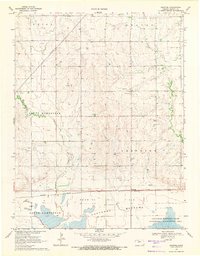
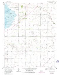
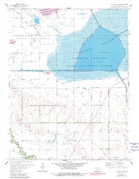
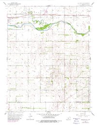
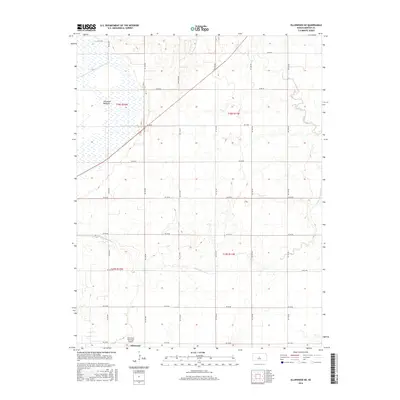
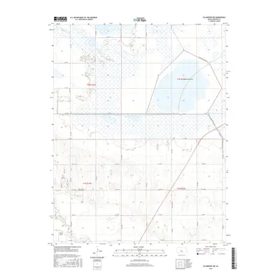
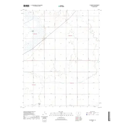
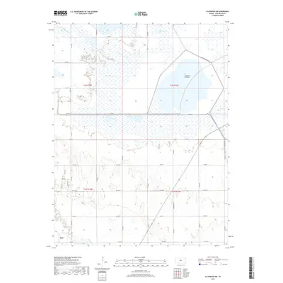
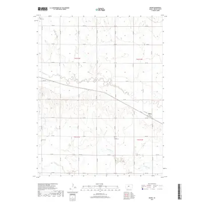
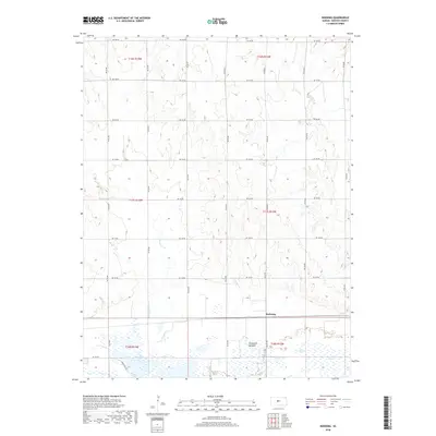
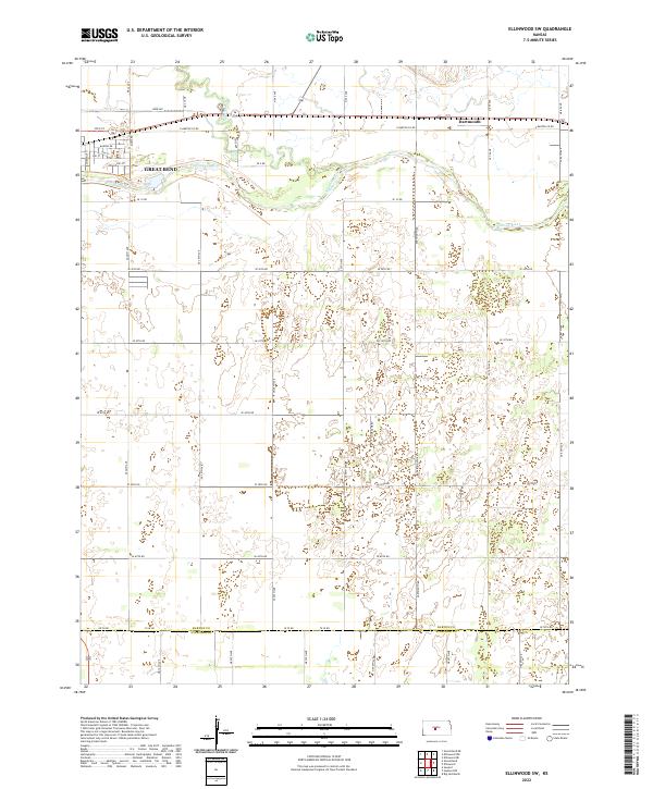
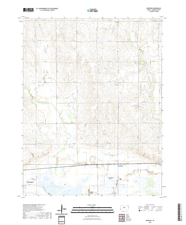
Redwing Oil Field and the Beaver South Oil Field dominate this central Kansas landscape, where numerous oil wells are interspersed among the rectangular grid of section lines and fence rows. The small settlement of Redwing serves as a local hub along the Missouri Pacific railroad line, which tracks east-to-west across the southern portion of the quadrangle. This area represents a distinct intersection of industrial extraction and environmental conservation, as the northern edge of the Cheyenne Bottoms State Waterfowl Management Area sits just south of the rail line, subject to controlled inundation for habitat management. Drainage is defined by the meandering paths of Deception Creek and Cow Creek, which cut through the established township divisions of North Homestead and Cheyenne.
Find a feature on this map
17 named features on this map. Tap any name to fly to it.
Don’t see what you’re looking for? This feature index may not catch every label — zoom into the map to look around manually.
Map Details
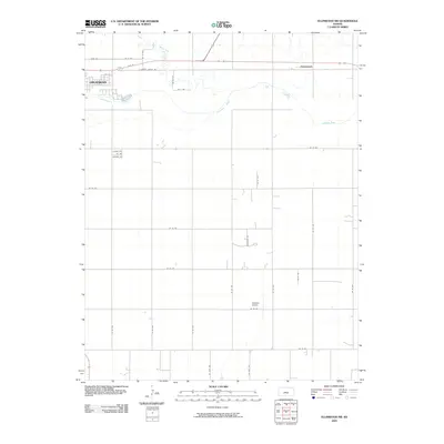
Editions of this 1969 Redwing Map
This is the sole edition of this map. No revisions or reprints were ever made.
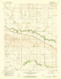
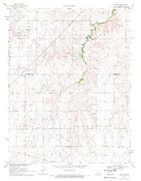
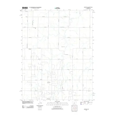
Historical Maps of Redwing Through Time
42 maps found
1956 Ellinwood NE
Barton County, KS
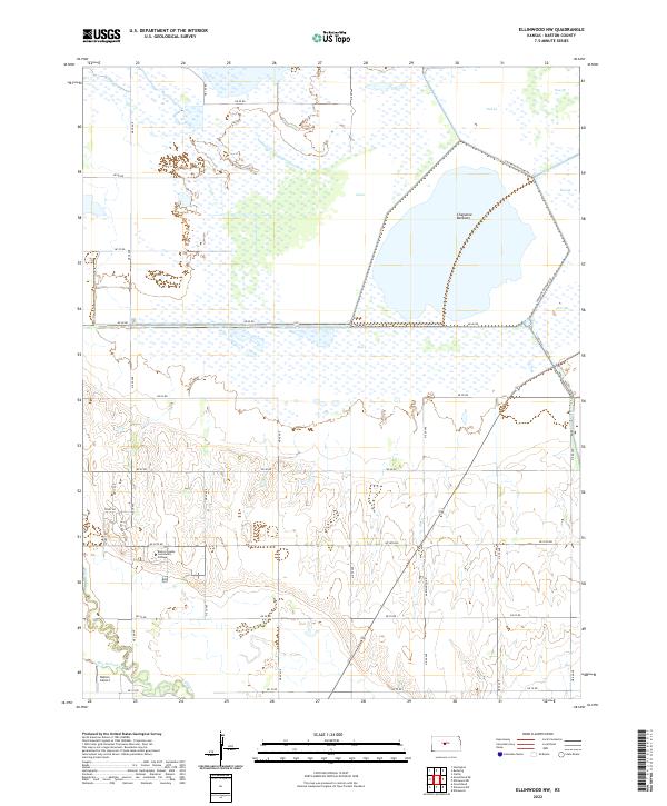
1956 Ellinwood NW
Barton County, KS
1957 Ellinwood SW
Barton County, KS
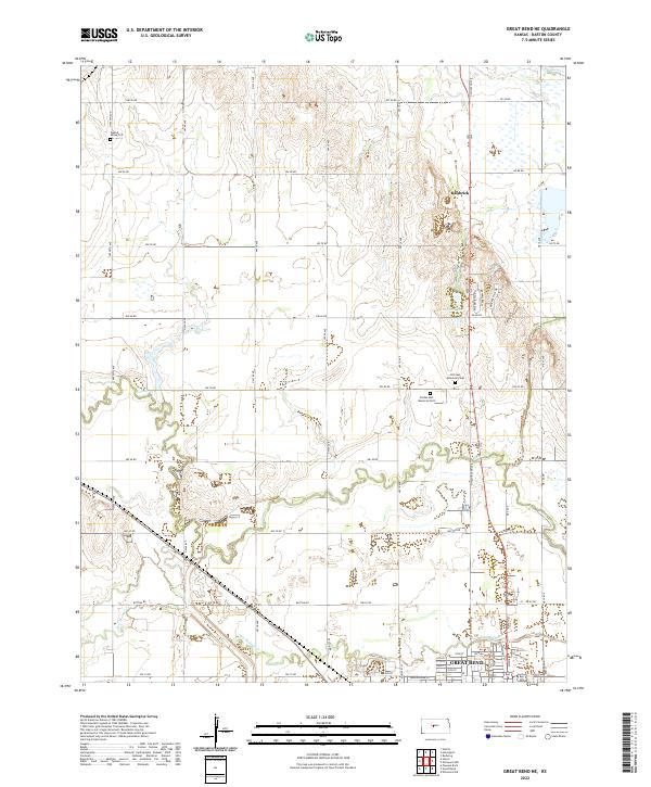
1959 Great Bend NE
Barton County, KS
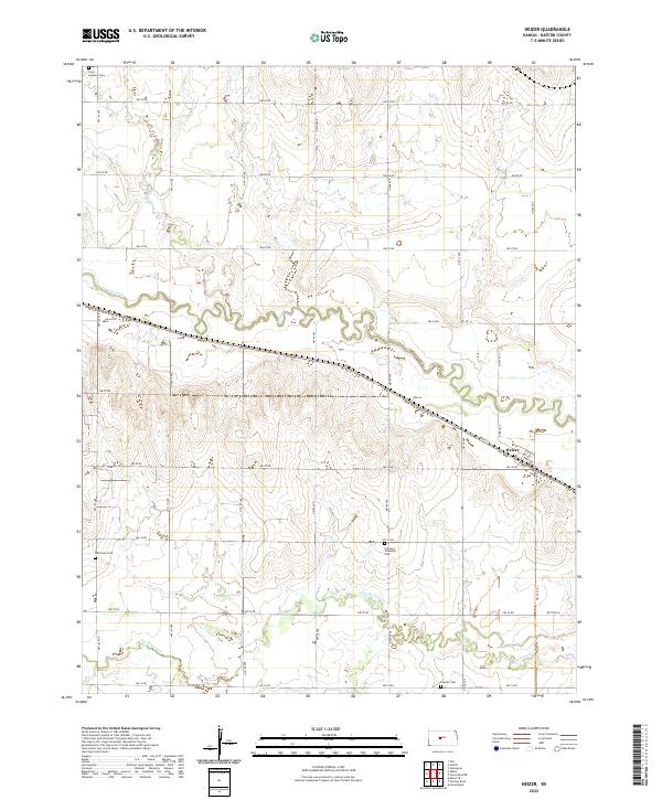
1960 Heizer
Barton County, KS
1969 Dubuque
Barton County, KS
1969 Redwing
Barton County, KS
2009 Dubuque
Barton County, KS
2009 Ellinwood NE
Barton County, KS

2009 Ellinwood NW
Barton County, KS
2009 Ellinwood SW
Barton County, KS
2009 Great Bend NE
Barton County, KS
2009 Heizer
Barton County, KS
2009 Redwing
Barton County, KS
2012 Dubuque
Barton County, KS
2012 Ellinwood NE
Barton County, KS
2012 Ellinwood NW
Barton County, KS
2012 Ellinwood SW
Barton County, KS
2012 Great Bend NE
Barton County, KS
2012 Heizer
Barton County, KS
2012 Redwing
Barton County, KS
2015 Dubuque
Barton County, KS
2015 Ellinwood SW
Barton County, KS
2015 Great Bend NE
Barton County, KS
2015 Heizer
Barton County, KS
2016 Ellinwood NE
Barton County, KS
2016 Ellinwood NW
Barton County, KS
2016 Redwing
Barton County, KS
2018 Dubuque
Barton County, KS
2018 Ellinwood NE
Barton County, KS
2018 Ellinwood NW
Barton County, KS
2018 Ellinwood SW
Barton County, KS
2018 Great Bend NE
Barton County, KS
2018 Heizer
Barton County, KS
2018 Redwing
Barton County, KS
2022 Dubuque
Barton County, KS
2022 Ellinwood NE
Barton County, KS
2022 Ellinwood NW
Barton County, KS
2022 Ellinwood SW
Barton County, KS
2022 Great Bend NE
Barton County, KS
2022 Heizer
Barton County, KS
2022 Redwing
Barton County, KS