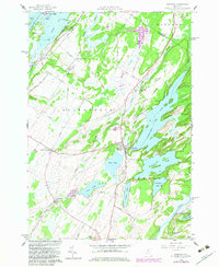
1958 Map of Redwood
USGS Topo · Published 1983About this map
Butterfield Lake and a series of smaller glacial basins dominate this landscape in Jefferson County, where the village of Redwood serves as a central hub. The area shows a complex transition from the St Lawrence River shoreline at Goose Bay to the inland waters of Millsite Lake and Sixberry Lake. Transport and settlement patterns follow the limestone-rich terrain, with the Penn Central Railroad corridor cutting past the State Boat Launching Site at the edge of town. Local family history is preserved in small burial grounds like Barnes Cem and McDonald Cem, while outlying hamlets like Plessis and Skinners Corners anchor the rural road network. The southern reaches are characterized by the winding Indian River and the protected lands of the Indian River Wildlife Management Area, reflecting the region's historical reliance on both water power and seasonal recreation.
Find a feature on this map
64 named features on this map. Tap any name to fly to it.
Don’t see what you’re looking for? This feature index may not catch every label — zoom into the map to look around manually.
Map Details
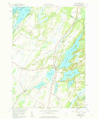
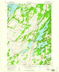
Editions of this 1958 Redwood Map
3 editions found
Other maps of this area

1903 · Alexandria Bay
USGS Topo · 1:62,500

1903 · Theresa
USGS Topo · 1:62,500

1911 · Antwerp
USGS Topo · 1:62,500

1912 · Hammond
USGS Topo · 1:62,500

1943 · Redwood
USGS Topo · 1:31,680

1943 · Lafargeville
USGS Topo · 1:31,680

1943 · Alexandria Bay
USGS Topo · 1:31,680

1944 · Hammond
USGS Topo · 1:62,500

1948 · Theresa
USGS Topo · 1:24,000

1948 · Chippewa Bay
USGS Topo · 1:24,000