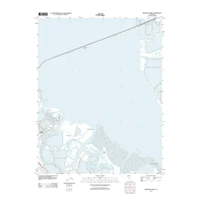
2012 Map of Redwood Point
USGS Topo · Published 2012About this map
Redwood Shores and the complex industrial and tidal landscape of the South Bay define this 2012 survey. The area's character is shaped by the transition from suburban residential development to the maritime activity of the Port of Redwood City, all set against a backdrop of extensive marshlands. Large landmasses like Bair Island and Greco Island dominate the central portion of the map, separated by a network of winding waterways including Steinberger Slough and Westpoint Slough. To the north, the San Mateo Bridge spans the water, connecting the peninsula to the eastern shore near Alameda Cr. This geography highlights the intricate balance between modern infrastructure and the natural sloughs that drain into the Pacific Ocean, providing a detailed look at the bay's edge before further 21st-century changes.
Find a feature on this map
28 named features on this map. Tap any name to fly to it.
Don’t see what you’re looking for? This feature index may not catch every label — zoom into the map to look around manually.
Map Details
Editions of this 2012 Redwood Point Map
This is the sole edition of this map. No revisions or reprints were ever made.
Other maps of this area

1892 · San Mateo
USGS Topo · 1:62,500

1896 · San Mateo
USGS Topo · 1:62,500

1897 · Palo Alto
USGS Topo · 1:62,500

1899 · Palo Alto
USGS Topo · 1:62,500

1899 · Haywards
USGS Topo · 1:62,500

1899 · San Mateo
USGS Topo · 1:62,500

1902 · Santa Cruz
USGS Topo · 1:125,000

1915 · San Mateo
USGS Topo · 1:62,500

1915 · Haywards
USGS Topo · 1:62,500

1939 · San Mateo
USGS Topo · 1:62,500