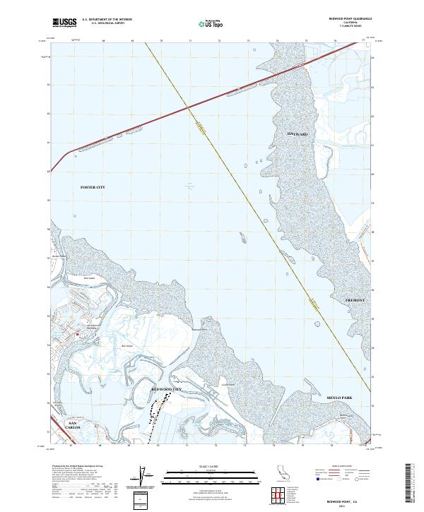
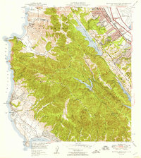
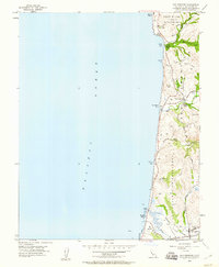
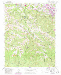
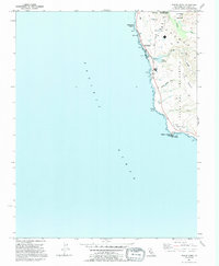
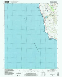
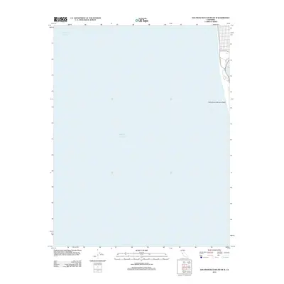
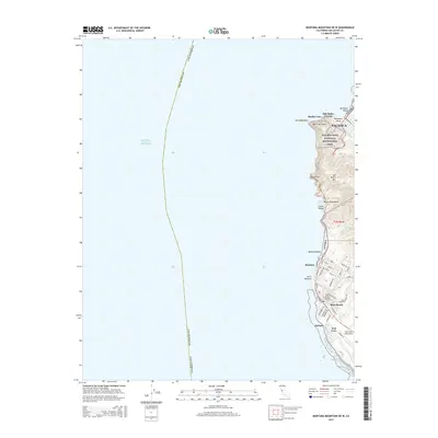
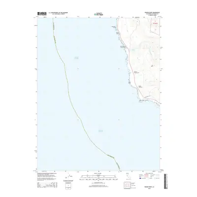
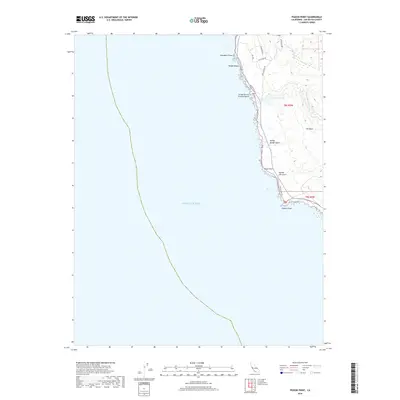
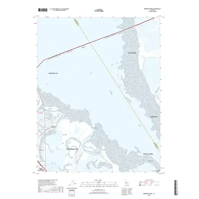
2021 Map of Redwood Point
USGS Topo · Published 2021About this map
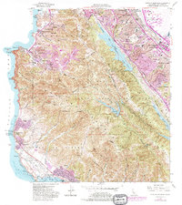
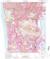
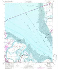
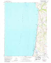
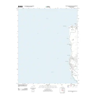
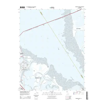
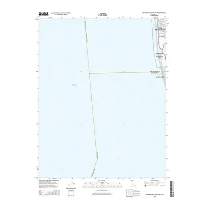
The San Francisco Peninsula shoreline dominates this 2021 study of the tidal interfaces between Redwood City, Foster City, and Hayward. The landscape is a complex mosaic of marshland and maritime infrastructure, centered on the significant undeveloped expanses of Bair Island and Greco Island. These areas are bounded by a network of waterways including Steinberger Slough, Corkscrew Slough, and Smith Slough, which serve as natural drainage for the surrounding urban areas.
Find a feature on this map
45 named features on this map. Tap any name to fly to it.
Don’t see what you’re looking for? This feature index may not catch every label — zoom into the map to look around manually.
Map Details
Editions of this 2021 Redwood Point Map
This is the sole edition of this map. No revisions or reprints were ever made.
Historical Maps of Fremont Through Time
68 maps found

1940 Ano Nuevo
San Mateo County, CA
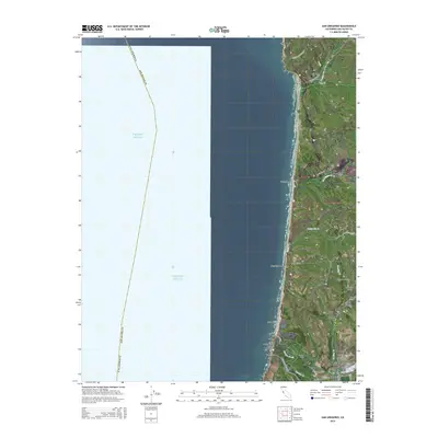
1940 Halfmoon Bay
San Mateo County, CA

1941 Ano Nuevo Pt.
San Mateo County, CA
1942 Ano Nuevo
San Mateo County, CA

1943 Halfmoon Bay
San Mateo County, CA

1947 San Francisco South
San Mateo County, CA
1948 Ano Nuevo
San Mateo County, CA

1948 Redwood Point
San Mateo County, CA
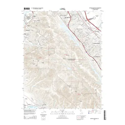
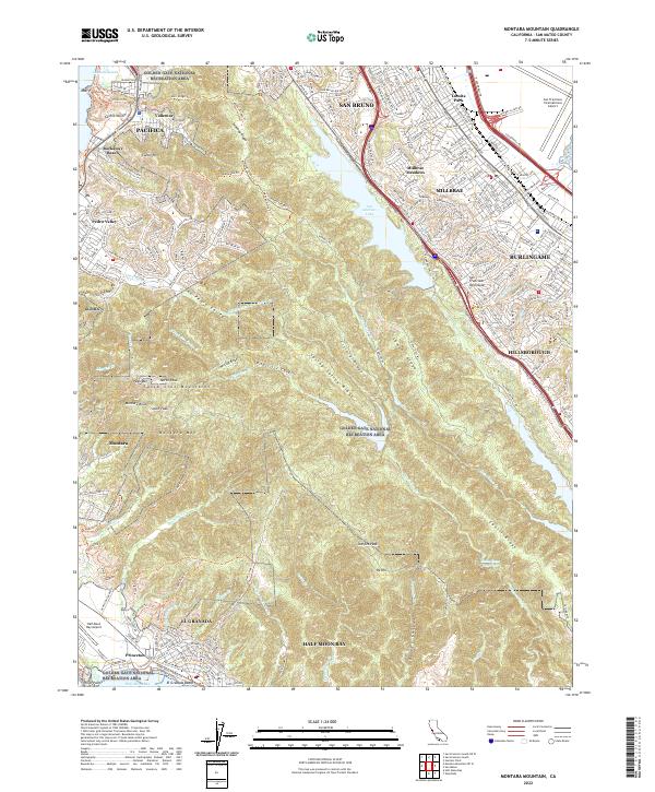
1949 Montara Mountain
San Mateo County, CA

1950 San Francisco South
San Mateo County, CA
1955 Franklin Point
San Mateo County, CA
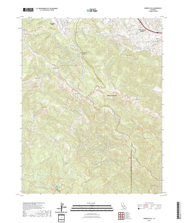
1955 Mindego Hill
San Mateo County, CA
1955 Pigeon Point
San Mateo County, CA
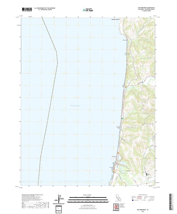
1955 San Gregorio
San Mateo County, CA
1956 Montara Mountain
San Mateo County, CA
1956 San Francisco South
San Mateo County, CA
1959 Redwood Point
San Mateo County, CA
1961 Mindego Hill
San Mateo County, CA
1961 San Gregorio
San Mateo County, CA
1991 Franklin Point
San Mateo County, CA
1991 Mindego Hill
San Mateo County, CA
1991 Pigeon Point
San Mateo County, CA

1991 San Gregorio
San Mateo County, CA

1993 Montara Mountain
San Mateo County, CA

1993 Redwood Point
San Mateo County, CA

1993 San Francisco South
San Mateo County, CA

1995 San Francisco South
San Mateo County, CA

1997 Mindego Hill
San Mateo County, CA

1997 Montara Mountain
San Mateo County, CA

1997 San Gregorio
San Mateo County, CA

1998 Franklin Point
San Mateo County, CA
1998 Pigeon Point
San Mateo County, CA
2012 Franklin Point
San Mateo County, CA
2012 Mindego Hill
San Mateo County, CA
2012 Montara Mountain OE W
San Mateo County, CA
2012 Montara Mountain
San Mateo County, CA
2012 Pigeon Point
San Mateo County, CA
2012 Redwood Point
San Mateo County, CA
2012 San Francisco South OE W
San Mateo County, CA
2012 San Francisco South
San Mateo County, CA
2012 San Gregorio
San Mateo County, CA
2015 Franklin Point
San Mateo County, CA

2015 Mindego Hill
San Mateo County, CA
2015 Montara Mountain OE W
San Mateo County, CA
2015 Montara Mountain
San Mateo County, CA
2015 Pigeon Point
San Mateo County, CA
2015 Redwood Point
San Mateo County, CA
2015 San Francisco South OE W
San Mateo County, CA
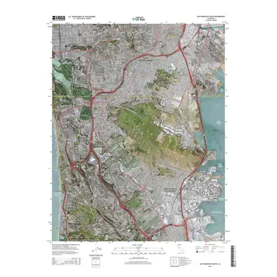
2015 San Francisco South
San Mateo County, CA
2015 San Gregorio
San Mateo County, CA
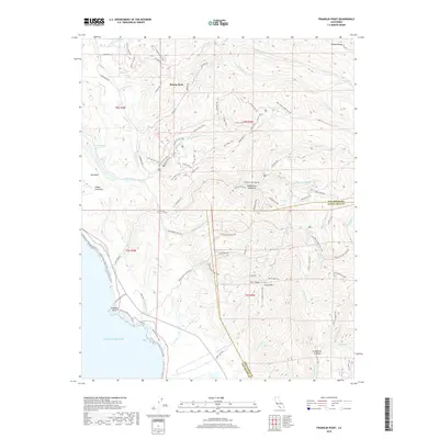
2018 Franklin Point
San Mateo County, CA
2018 Mindego Hill
San Mateo County, CA
2018 Montara Mountain OE W
San Mateo County, CA
2018 Montara Mountain
San Mateo County, CA
2018 Pigeon Point
San Mateo County, CA
2018 Redwood Point
San Mateo County, CA
2018 San Francisco South OE W
San Mateo County, CA
2018 San Francisco South
San Mateo County, CA
2018 San Gregorio
San Mateo County, CA
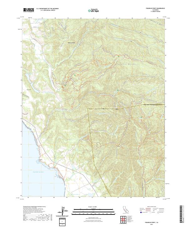
2021 Franklin Point
San Mateo County, CA
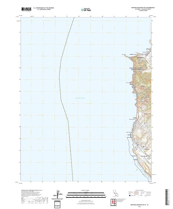
2021 Montara Mountain OE W
San Mateo County, CA
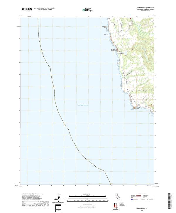
2021 Pigeon Point
San Mateo County, CA
2021 Redwood Point
San Mateo County, CA
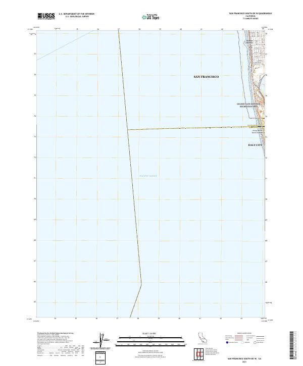
2021 San Francisco South OE W
San Mateo County, CA

2021 San Francisco South
San Mateo County, CA
2022 Mindego Hill
San Mateo County, CA
2022 Montara Mountain
San Mateo County, CA
2022 San Gregorio
San Mateo County, CA