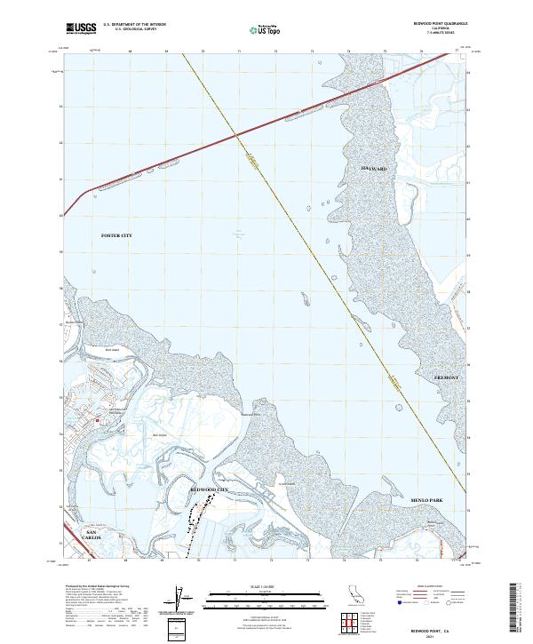
2021 Map of Redwood Point
USGS Topo · Published 2021About this map
The San Francisco Peninsula shoreline dominates this 2021 study of the tidal interfaces between Redwood City, Foster City, and Hayward. The landscape is a complex mosaic of marshland and maritime infrastructure, centered on the significant undeveloped expanses of Bair Island and Greco Island. These areas are bounded by a network of waterways including Steinberger Slough, Corkscrew Slough, and Smith Slough, which serve as natural drainage for the surrounding urban areas.
Find a feature on this map
45 named features on this map. Tap any name to fly to it.
Don’t see what you’re looking for? This feature index may not catch every label — zoom into the map to look around manually.
Map Details
Editions of this 2021 Redwood Point Map
This is the sole edition of this map. No revisions or reprints were ever made.
Other maps of this area

1892 · San Mateo
USGS Topo · 1:62,500

1896 · San Mateo
USGS Topo · 1:62,500

1897 · Palo Alto
USGS Topo · 1:62,500

1899 · Palo Alto
USGS Topo · 1:62,500

1899 · Haywards
USGS Topo · 1:62,500

1899 · San Mateo
USGS Topo · 1:62,500

1902 · Santa Cruz
USGS Topo · 1:125,000

1915 · San Mateo
USGS Topo · 1:62,500

1915 · Haywards
USGS Topo · 1:62,500

1939 · San Mateo
USGS Topo · 1:62,500