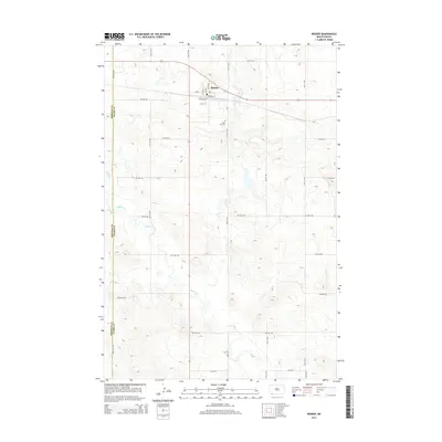
2014 Map of Reeder
USGS Topo · Published 2014About this map
Reeder serves as the primary hub in this corner of Adams County, where the street grid reflects its foundation as a transportation and agricultural center. The layout of the town is defined by its connection to the rail line, with Railway St and Elevator St serving as key industrial corridors for local grain movement. Just south of the main town site, Rose Hill Cem stands as a quiet record of the community’s generational history. The surrounding landscape is etched by the winding course of Buffalo Cr, which cuts through the prairie southeast of the settlement. The map also captures the boundary between Bowman and Adams counties, illustrating the transition between these two agricultural regions in the western part of the state.
Find a feature on this map
16 named features on this map. Tap any name to fly to it.
Don’t see what you’re looking for? This feature index may not catch every label — zoom into the map to look around manually.
Map Details
Editions of this 2014 Reeder Map
This is the sole edition of this map. No revisions or reprints were ever made.
Other maps of this area

1935 · Reva
USGS Topo · 1:125,000

1953 · Dickinson
USGS Topo · 1:250,000

1954 · Lemmon
USGS Topo · 1:250,000

1957 · Dickinson
USGS Topo · 1:250,000

1957 · Lemmon
USGS Topo · 1:250,000

1968 · Haley
USGS Topo · 1:24,000

1969 · Gascoyne
USGS Topo · 1:24,000

1969 · Reeder
USGS Topo · 1:24,000

1969 · Scranton NE
USGS Topo · 1:24,000

1974 · Cow Butte
USGS Topo · 1:24,000