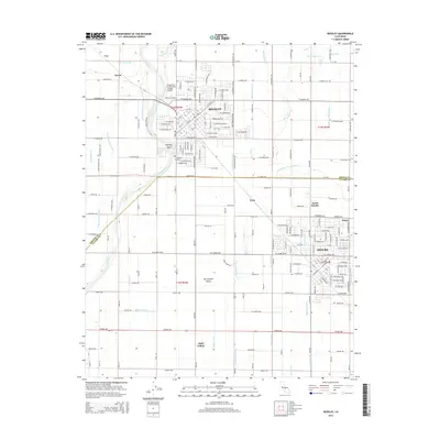
2015 Map of Reedley
USGS Topo · Published 2015About this map
The Kings River carves through the heart of the San Joaquin Valley in this survey of Fresno and Tulare counties, anchoring the regional centers of Reedley and Dinuba. This landscape is defined by its sophisticated irrigation infrastructure, where a network of canals and ditches—including the Smith Ferry Canal, California Vineyard Ditch, and Kennedy Wasteway—supports the fertile agricultural plains. Educational and community foundations are well-established here, represented by Reedley College and the Kings River Community College Airport.
Find a feature on this map
96 named features on this map. Tap any name to fly to it.
Don’t see what you’re looking for? This feature index may not catch every label — zoom into the map to look around manually.
Map Details
Editions of this 2015 Reedley Map
This is the sole edition of this map. No revisions or reprints were ever made.
Other maps of this area

1921 · Squaw Valley
USGS Topo · 1:31,680

1922 · Trimmer
USGS Topo · 1:96,000

1923 · Sultana
USGS Topo · 1:31,680

1923 · Wahtoke
USGS Topo · 1:31,680

1923 · Sanger
USGS Topo · 1:31,680

1924 · Reedley
USGS Topo · 1:31,680

1924 · Selma
USGS Topo · 1:31,680

1924 · Citrus Cove
USGS Topo · 1:31,680

1924 · Dinuba
USGS Topo · 1:125,000

1926 · Burris Park
USGS Topo · 1:31,680