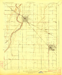
1951 Map of Reedley
USGS Topo · Published 1951About this map
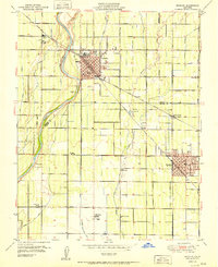
Reedley and Dinuba serve as the primary anchors of this agricultural landscape in the San Joaquin Valley, bisected by the Kings River and the prominent Fresno and Tulare County line. The map reveals a highly developed irrigation and transport network essential to the region's mid-century orchards and vineyards, including the Traver Canal and the Atchison Topeka and Santa Fe railroad.
Find a feature on this map
43 named features on this map. Tap any name to fly to it.
Don’t see what you’re looking for? This feature index may not catch every label — zoom into the map to look around manually.
Map Details
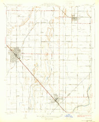
Editions of this 1951 Reedley Map
This is the sole edition of this map. No revisions or reprints were ever made.
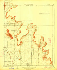
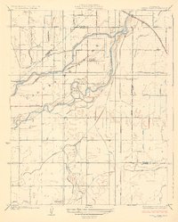
Other maps of this area
1921 · Squaw Valley
USGS Topo · 1:31,680

1922 · Trimmer
USGS Topo · 1:96,000

1923 · Sultana
USGS Topo · 1:31,680
1923 · Wahtoke
USGS Topo · 1:31,680
1923 · Sanger
USGS Topo · 1:31,680
1924 · Reedley
USGS Topo · 1:31,680
1924 · Selma
USGS Topo · 1:31,680
1924 · Citrus Cove
USGS Topo · 1:31,680

1924 · Dinuba
USGS Topo · 1:125,000
1926 · Burris Park
USGS Topo · 1:31,680