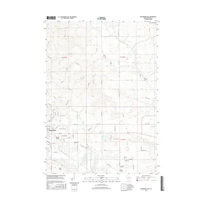
2016 Map of Reedsburg East
USGS Topo · Published 2016About this map
The Baraboo River carves its way through the landscape east of Reedsburg, defining the local topography alongside the Union Pacific rail corridor. This mid-2010s survey captures a mix of municipal development and agricultural continuity in Sauk County, where the Reedsburg Municipal Airport sits just south of the city center. The surrounding countryside is dotted with small family and community cemeteries, including All Saints Cem and Dellona Center Cem, which provide valuable location data for genealogists tracing regional lineages.
Find a feature on this map
102 named features on this map. Tap any name to fly to it.
Don’t see what you’re looking for? This feature index may not catch every label — zoom into the map to look around manually.
Map Details
Editions of this 2016 Reedsburg East Map
This is the sole edition of this map. No revisions or reprints were ever made.
Other maps of this area

1901 · Denzer
USGS Topo · 1:62,500

1901 · The Dells
USGS Topo · 1:62,500

1905 · Richland Center
USGS Topo · 1:125,000

1956 · Reedsburg
USGS Topo · 1:62,500

1957 · Wisconsin Dells
USGS Topo · 1:62,500

1957 · Madison
USGS Topo · 1:250,000

1958 · North Freedom
USGS Topo · 1:62,500

1958 · La Crosse
USGS Topo · 1:250,000

1960 · Madison
USGS Topo · 1:250,000

1960 · Plain
USGS Topo · 1:62,500