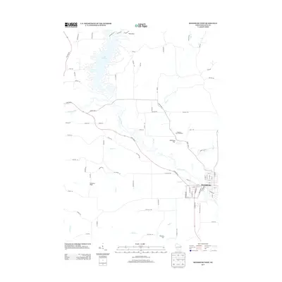
2013 Map of Reedsburg West
USGS Topo · Published 2013About this map
The Baraboo River meanders across this landscape of Sauk County, Wisconsin, framing the western outskirts of Reedsburg. To the north, the intricate shoreline of Lake Redstone provides a complex aquatic boundary, with Stony Point marking its northern reaches. The area is defined by a network of drainage systems including Silver Cr, Babb Cr, and Twin Cr, which cut through the local topography.
Find a feature on this map
85 named features on this map. Tap any name to fly to it.
Don’t see what you’re looking for? This feature index may not catch every label — zoom into the map to look around manually.
Map Details
Editions of this 2013 Reedsburg West Map
This is the sole edition of this map. No revisions or reprints were ever made.
Other maps of this area

1901 · Denzer
USGS Topo · 1:62,500

1901 · The Dells
USGS Topo · 1:62,500

1905 · Richland Center
USGS Topo · 1:125,000

1956 · Reedsburg
USGS Topo · 1:62,500

1957 · Wisconsin Dells
USGS Topo · 1:62,500

1957 · Madison
USGS Topo · 1:250,000

1958 · North Freedom
USGS Topo · 1:62,500

1958 · La Crosse
USGS Topo · 1:250,000

1960 · Madison
USGS Topo · 1:250,000

1960 · Plain
USGS Topo · 1:62,500