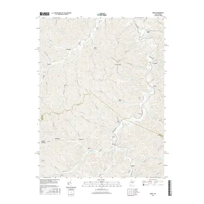
2016 Map of Reedy
USGS Topo · Published 2016About this map
Reedy serves as a central hub for this Roane County landscape, where the confluence of several creek branches dictates the local geography. The area is defined by a dense network of country roads following the narrow valleys, connecting small settlements like Peewee, Zackville, and Lucile. These communities are often anchored by family and community burial grounds, such as Good Hope Cem, Sheppard Cem, and the Cranesnest Cem located high on the ridges.
Find a feature on this map
107 named features on this map. Tap any name to fly to it.
Don’t see what you’re looking for? This feature index may not catch every label — zoom into the map to look around manually.
Map Details
Editions of this 2016 Reedy Map
This is the sole edition of this map. No revisions or reprints were ever made.
Other maps of this area

1906 · Elizabeth
USGS Topo · 1:62,500

1906 · Belleville
USGS Topo · 1:62,500

1907 · Spencer
USGS Topo · 1:62,500

1907 · Ripley
USGS Topo · 1:62,500

1924 · Belleville
USGS Topo · 1:62,500

1924 · Elizabeth
USGS Topo · 1:62,500

1926 · Elizabeth
USGS Topo · 1:62,500

1926 · Belleville
USGS Topo · 1:62,500

1926 · Ripley
USGS Topo · 1:62,500

1928 · Spencer
USGS Topo · 1:62,500