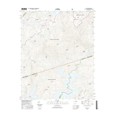
2016 Map of Reid
USGS Topo · Published 2016About this map
Lake Jocassee and Lake Toxaway define the hydrological character of this borderland, where the Blue Ridge Escarpment drops sharply toward the Piedmont. The Tennessee Valley Divide snakes through the northern portion of the map, separating waters that flow toward the Gulf of Mexico from those destined for the Atlantic. This topographical complexity is marked by dramatic water features like Whitewater Falls, Lower Falls, and Toxaway Falls along the Horsepasture River.
Find a feature on this map
74 named features on this map. Tap any name to fly to it.
Don’t see what you’re looking for? This feature index may not catch every label — zoom into the map to look around manually.
Map Details
Editions of this 2016 Reid Map
This is the sole edition of this map. No revisions or reprints were ever made.
Other maps of this area

1886 · Walhalla
USGS Topo · 1:125,000

1888 · Pickens
USGS Topo · 1:125,000

1891 · Cowee
USGS Topo · 1:125,000

1892 · Walhalla
USGS Topo · 1:125,000

1894 · Pickens
USGS Topo · 1:125,000

1896 · Walhalla
USGS Topo · 1:125,000

1897 · Cowee
USGS Topo · 1:125,000

1905 · Pisgah
USGS Topo · 1:125,000

1906 · Pisgah
USGS Topo · 1:125,000

1907 · Cowee
USGS Topo · 1:125,000