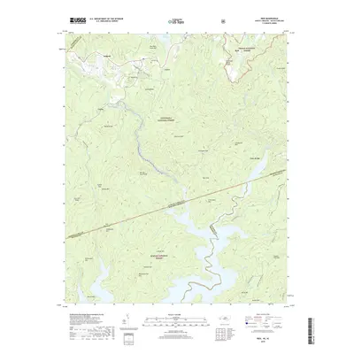
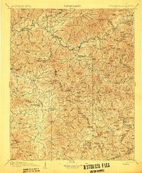
2019 Map of Reid
USGS Topo · Published 2019About this map
Hogback Valley and the Tennessee Valley Divide define this high-altitude borderland where the Blue Ridge Escarpment meets the South Carolina line. This area is characterized by dramatic elevation shifts and a complex hydrographic network, anchored by the Horsepasture River and the northern reaches of Lake Jocassee. The topography is marked by significant verticality, featuring landmarks such as Chestnut Mtn, Grindstone Mtn, and Rocky Knobs.
Find a feature on this map
81 named features on this map. Tap any name to fly to it.
Don’t see what you’re looking for? This feature index may not catch every label — zoom into the map to look around manually.
Map Details
Editions of this 2019 Reid Map
This is the sole edition of this map. No revisions or reprints were ever made.
Other maps of this area

1886 · Walhalla
USGS Topo · 1:125,000

1888 · Pickens
USGS Topo · 1:125,000

1891 · Cowee
USGS Topo · 1:125,000

1892 · Walhalla
USGS Topo · 1:125,000

1894 · Pickens
USGS Topo · 1:125,000

1896 · Walhalla
USGS Topo · 1:125,000
1897 · Cowee
USGS Topo · 1:125,000
1905 · Pisgah
USGS Topo · 1:125,000
1906 · Pisgah
USGS Topo · 1:125,000
1907 · Cowee
USGS Topo · 1:125,000