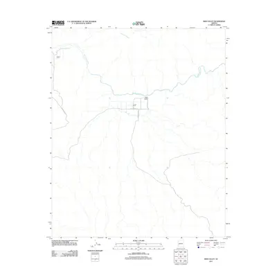
2011 Map of Reid Valley
USGS Topo · Published 2011About this map
Bill Williams River meanders across this desert landscape, providing the primary watercourse for the outlying homesteads and agricultural operations of Mohave County. In the early 21st century, the area remained defined by its ranching heritage, with Rankin Ranch and Lincoln Ranch serving as the primary hubs of activity in this arid basin. The small settlement of Reid Valley is positioned near the junction of several primitive routes, including Lincoln Ranch Rd and Bernard Mine Rd. The terrain is marked by seasonal drainage patterns, such as Mississippi Wash, which flow toward the river. This survey captures a moment of modern ranching life where private holdings and managed lands intersect in the Arizona backcountry.
Find a feature on this map
9 named features on this map. Tap any name to fly to it.
Don’t see what you’re looking for? This feature index may not catch every label — zoom into the map to look around manually.
Map Details
Editions of this 2011 Reid Valley Map
This is the sole edition of this map. No revisions or reprints were ever made.
Other maps of this area

1923 · Signal
USGS Topo · 1:250,000

1942 · Signal
USGS Topo · 1:250,000

1950 · Prescott
USGS Topo · 1:250,000

1954 · Prescott
USGS Topo · 1:250,000

1958 · Prescott
USGS Topo · 1:250,000

1959 · Prescott
USGS Topo · 1:250,000

1960 · Prescott
USGS Topo · 1:250,000

1965 · Prescott
USGS Topo · 1:250,000
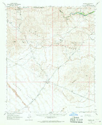
1966 · Swansea
USGS Topo · 1:62,500

1966 · Ives Peak
USGS Topo · 1:62,500