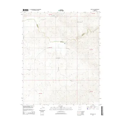
2014 Map of Reid Valley
USGS Topo · Published 2014About this map
The Bill Williams River winds through this desert corridor, serving as the natural boundary between Mohave and La Paz counties. To the south, the Buckskin Mountains dominate the elevation, while the Rawhide Mountains rise to the north, framing the namesake Reid Valley. The landscape is etched by seasonal drainage systems like Mississippi Wash, which feed toward the river's main channel. Settlement patterns are sparse and focused on ranching access, evidenced by the presence of Johnson Ranch Rd and Lincoln Ranch Rd. Industrial history is represented by Bernard Mine Rd, which provides transit into the higher elevations of the mountains where mineral extraction once defined the local economy in this remote corner of Arizona.
Find a feature on this map
14 named features on this map. Tap any name to fly to it.
Don’t see what you’re looking for? This feature index may not catch every label — zoom into the map to look around manually.
Map Details
Editions of this 2014 Reid Valley Map
This is the sole edition of this map. No revisions or reprints were ever made.
Other maps of this area

1923 · Signal
USGS Topo · 1:250,000

1942 · Signal
USGS Topo · 1:250,000

1950 · Prescott
USGS Topo · 1:250,000

1954 · Prescott
USGS Topo · 1:250,000

1958 · Prescott
USGS Topo · 1:250,000

1959 · Prescott
USGS Topo · 1:250,000

1960 · Prescott
USGS Topo · 1:250,000

1965 · Prescott
USGS Topo · 1:250,000
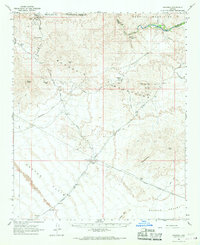
1966 · Swansea
USGS Topo · 1:62,500

1966 · Ives Peak
USGS Topo · 1:62,500