
1894 Map of Relay
USGS Topo · Published 1894About this map
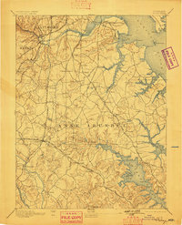
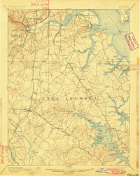
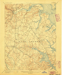
Elkridge Landing and the deep tidal waters of the Patapsco River anchor this late 19th-century study of the central Maryland corridor. The landscape is defined by its early rail dominance, with several competing lines including the Baltimore and Ohio RR and the Annapolis and Baltimore Short Line RR carving paths through the rolling terrain. Settlements like Glen Burnie, Linthicum, and Harmans appear as modest railroad stops or rural crossroads long before the suburban expansion of the modern era.
Find a feature on this map
99 named features on this map. Tap any name to fly to it.
Don’t see what you’re looking for? This feature index may not catch every label — zoom into the map to look around manually.
Map Details
Editions of this 1894 Relay Map
4 editions found
Other maps of this area

1892 · Laurel
USGS Topo · 1:62,500

1892 · Ellicott
USGS Topo · 1:62,500

1892 · Owensville
USGS Topo · 1:62,500

1892 · Annapolis
USGS Topo · 1:62,500

1893 · North Point
USGS Topo · 1:62,500

1893 · Gunpowder
USGS Topo · 1:62,500

1894 · Ellicott
USGS Topo · 1:62,500

1894 · Laurel
USGS Topo · 1:62,500

1894 · Baltimore
USGS Topo · 1:62,500

1895 · Owensville
USGS Topo · 1:62,500