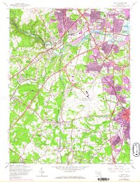
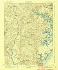
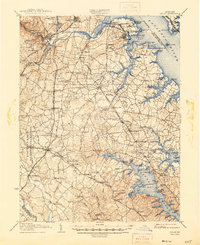
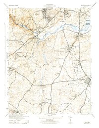
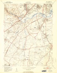
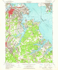
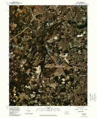
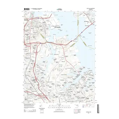
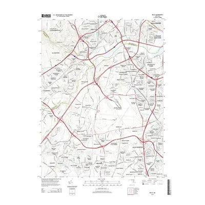
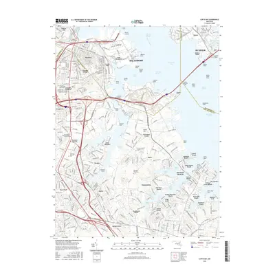
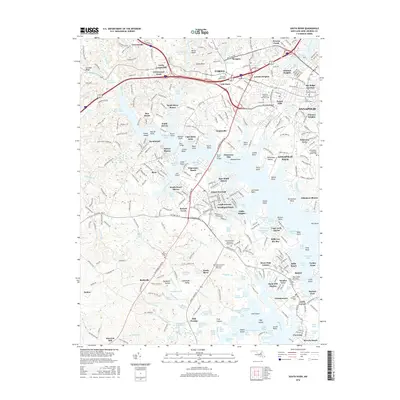
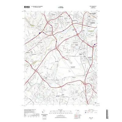
1957 Map of Relay
USGS Topo · Published 1967About this map
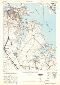
Baltimore Friendship International Airport anchors the center of this Maryland landscape during a period of rapid suburban expansion and transportation development. The intersection of the Baltimore & Ohio RR and Pennsylvania RR highlights the region's enduring rail heritage, while the newly revised Baltimore Washington Pkwy signals the growing automotive era. Subdivisions like English Consul, Linthicum Heights, and Arbutus show dense residential growth pressing against the older agricultural and industrial corridor.
Find a feature on this map
78 named features on this map. Tap any name to fly to it.
Don’t see what you’re looking for? This feature index may not catch every label — zoom into the map to look around manually.
Map Details
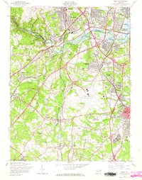
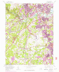
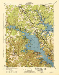
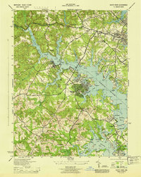
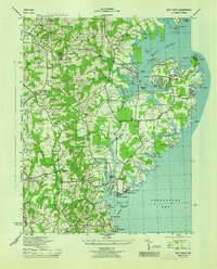
Editions of this 1957 Relay Map
5 editions found

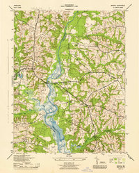
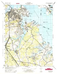
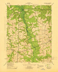
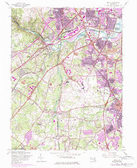
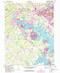
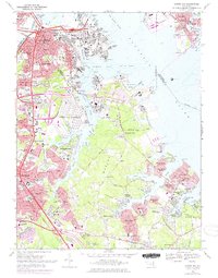
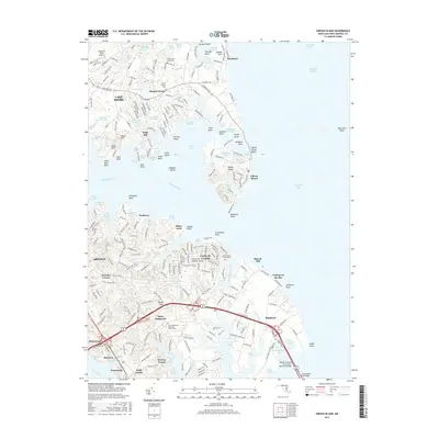
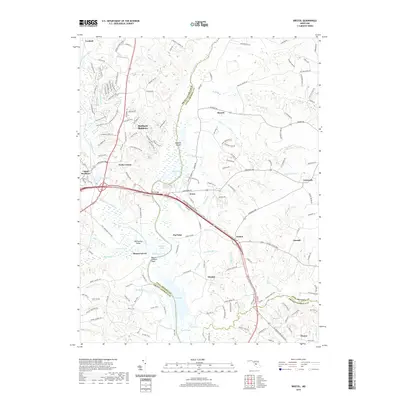
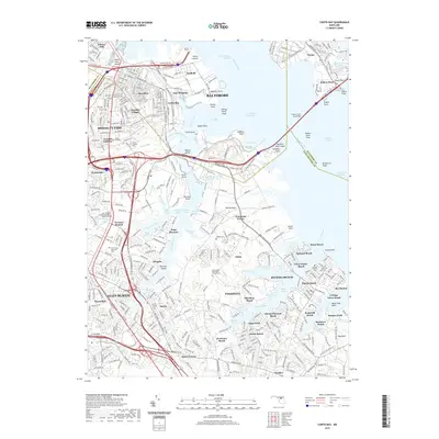
Historical Maps of Arbutus Through Time
65 maps found

1892 Owensville
Anne Arundel County, MD
1893 North Point
Anne Arundel County, MD
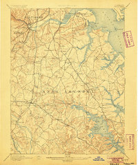
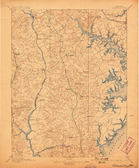
1894 Relay
Anne Arundel County, MD
1895 Owensville
Anne Arundel County, MD
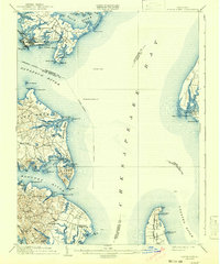
1904 North Point
Anne Arundel County, MD
1905 Owensville
Anne Arundel County, MD
1907 Relay
Anne Arundel County, MD

1943 North Point
Anne Arundel County, MD
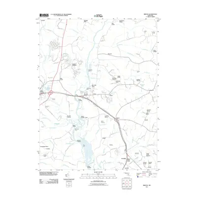
1944 Bristol
Anne Arundel County, MD
1944 Curtis Bay
Anne Arundel County, MD
1944 Davidsonville
Anne Arundel County, MD

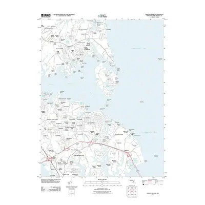
1944 Gibson Island
Anne Arundel County, MD
1944 Relay
Anne Arundel County, MD
1944 Round Bay
Anne Arundel County, MD
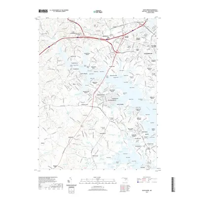
1944 South River
Anne Arundel County, MD
1944 West River
Anne Arundel County, MD
1946 Curtis Bay
Anne Arundel County, MD

1947 North Point
Anne Arundel County, MD
1947 Relay
Anne Arundel County, MD
1949 Curtis Bay
Anne Arundel County, MD
1949 Round Bay
Anne Arundel County, MD
1950 Relay
Anne Arundel County, MD
1954 Gibson Island
Anne Arundel County, MD
1956 Round Bay
Anne Arundel County, MD
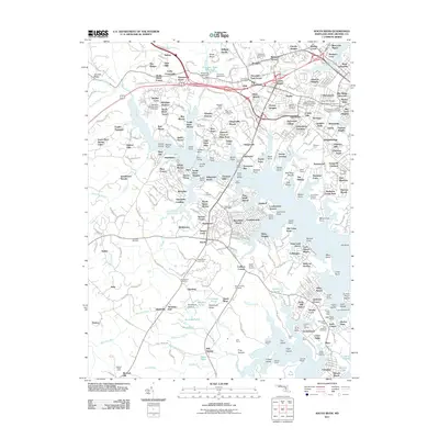
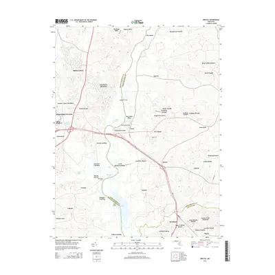
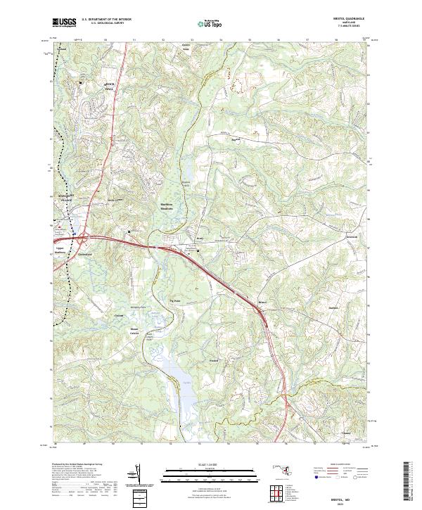
1957 Bristol
Anne Arundel County, MD
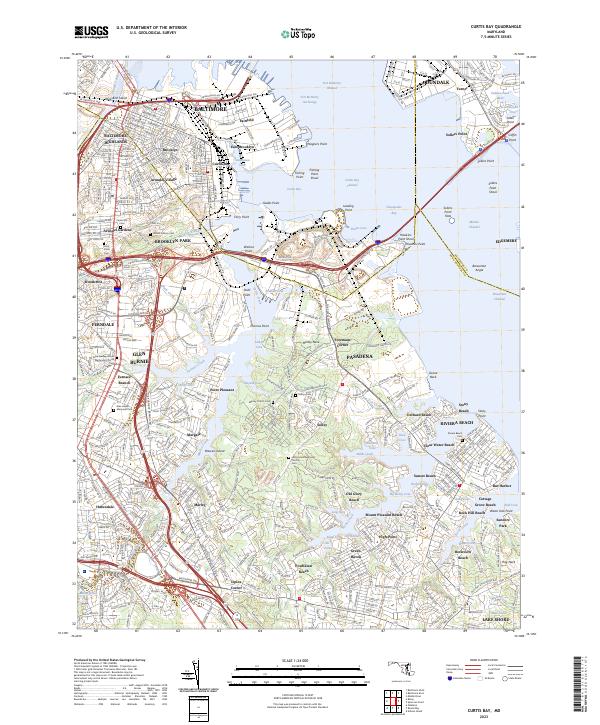
1957 Curtis Bay
Anne Arundel County, MD
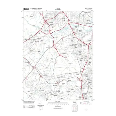
1957 Relay
Anne Arundel County, MD
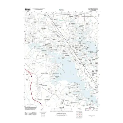
1957 South River
Anne Arundel County, MD
1969 Curtis Bay
Anne Arundel County, MD
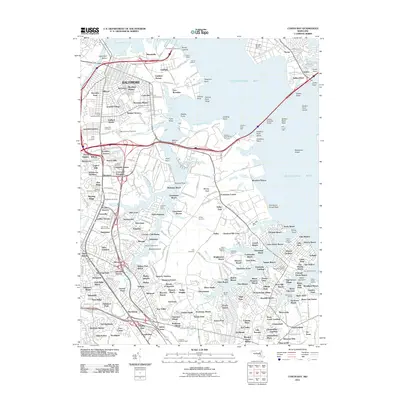
1981 Relay
Anne Arundel County, MD
2011 Bristol
Anne Arundel County, MD
2011 Curtis Bay
Anne Arundel County, MD
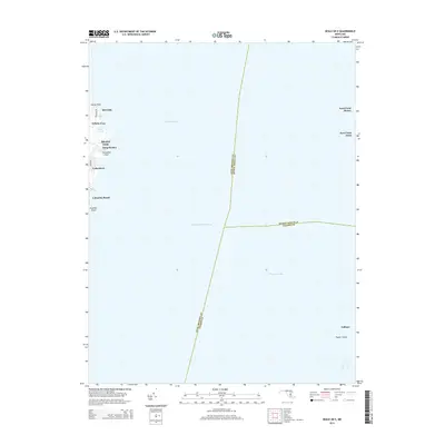
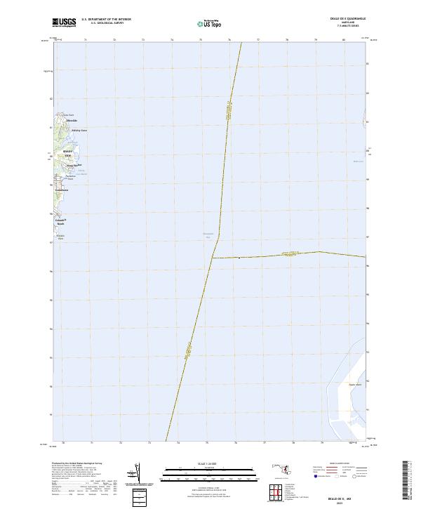
2011 Deale OE E
Anne Arundel County, MD
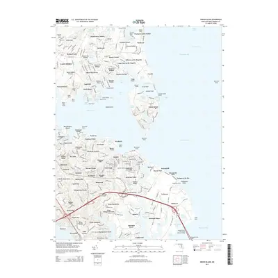
2011 Gibson Island
Anne Arundel County, MD
2011 Relay
Anne Arundel County, MD
2011 Round Bay
Anne Arundel County, MD
2011 South River
Anne Arundel County, MD
2014 Bristol
Anne Arundel County, MD
2014 Curtis Bay
Anne Arundel County, MD
2014 Deale OE E
Anne Arundel County, MD
2014 Gibson Island
Anne Arundel County, MD
2014 Relay
Anne Arundel County, MD
2014 Round Bay
Anne Arundel County, MD
2014 South River
Anne Arundel County, MD
2016 Bristol
Anne Arundel County, MD
2016 Curtis Bay
Anne Arundel County, MD
2016 Deale OE E
Anne Arundel County, MD
2016 Relay
Anne Arundel County, MD
2016 Round Bay
Anne Arundel County, MD
2016 South River
Anne Arundel County, MD
2017 Gibson Island
Anne Arundel County, MD
2019 Bristol
Anne Arundel County, MD
2019 Curtis Bay
Anne Arundel County, MD
2019 Deale OE E
Anne Arundel County, MD
2019 Gibson Island
Anne Arundel County, MD
2019 Relay
Anne Arundel County, MD
2019 Round Bay
Anne Arundel County, MD
2019 South River
Anne Arundel County, MD
2023 Bristol
Anne Arundel County, MD
2023 Curtis Bay
Anne Arundel County, MD
2023 Deale OE E
Anne Arundel County, MD
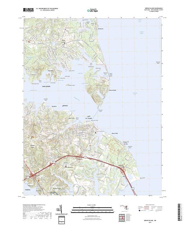
2023 Gibson Island
Anne Arundel County, MD
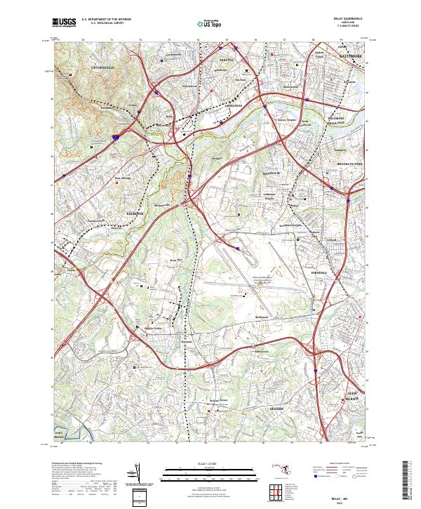
2023 Relay
Anne Arundel County, MD
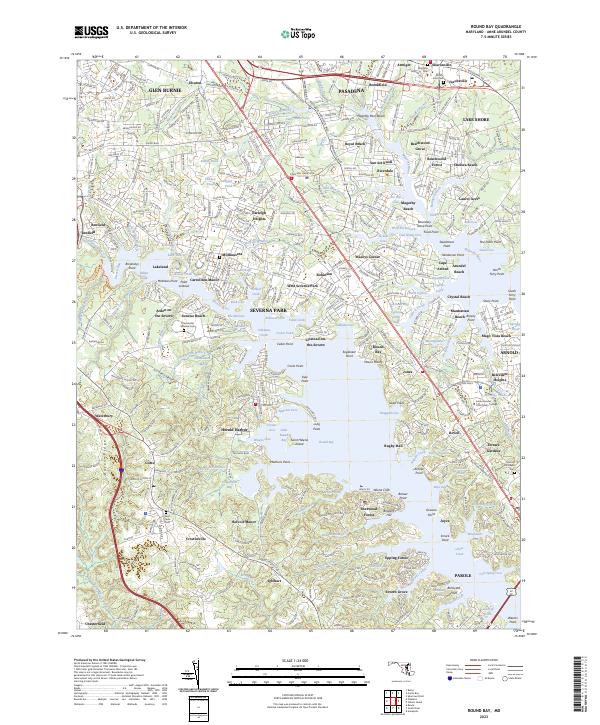
2023 Round Bay
Anne Arundel County, MD
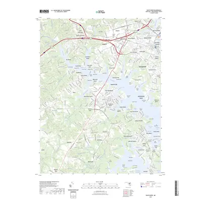
2023 South River
Anne Arundel County, MD