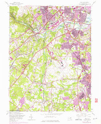
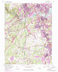
1957 Map of Relay
USGS Topo · Published 1975About this map
Baltimore Friendship International Airport anchors this mid-century look at the expanding suburbs south of Baltimore. The landscape is defined by the heavy infrastructure of the Baltimore-Washington Parkway and the Harbor Tunnel Thruway, which cut through established communities like Linthicum Heights, Lansdowne, and Elkridge. This edition captures the corridor during a period of significant growth, noting urban expansion in purple while preserving the footprint of local institutions like St Johns Ch and the United Hebrew Cemetery. Along the Patapsco River, the boundaries of Patapsco State Park offer a contrast to the industrial and transit-focused development elsewhere. Local genealogy is supported by the detailed marking of scattered schools and churches, including Wesley Grove Ch and Harmans Sch, alongside smaller hamlets like Ehrmansville and Shipley Corner that were increasingly integrated into the metropolitan sprawl.
Find a feature on this map
78 named features on this map. Tap any name to fly to it.
Don’t see what you’re looking for? This feature index may not catch every label — zoom into the map to look around manually.
Map Details
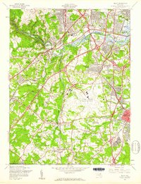
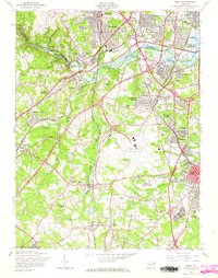
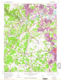
Editions of this 1957 Relay Map
5 editions found
Other maps of this area

1892 · Laurel
USGS Topo · 1:62,500

1892 · Ellicott
USGS Topo · 1:62,500

1894 · Ellicott
USGS Topo · 1:62,500

1894 · Laurel
USGS Topo · 1:62,500

1894 · Baltimore
USGS Topo · 1:62,500

1894 · Relay
USGS Topo · 1:62,500

1897 · Laurel
USGS Topo · 1:62,500

1899 · Baltimore
USGS Topo · 1:62,500

1904 · Baltimore
USGS Topo · 1:62,500

1906 · Ellicott
USGS Topo · 1:62,500