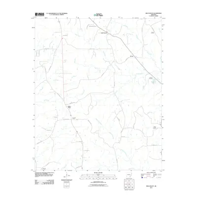
2011 Map of Relfs Bluff
USGS Topo · Published 2011About this map
Relfs Bluff and the nearby communities of Little Garnett and Garnett anchor this rural Lincoln County landscape. The area is defined by a dense network of watercourses, including the serpentine paths of Tenmile Creek, Upper Cutoff Creek, and Ables Creek. These streams drain a terrain etched by secondary roads and named tracks such as Lonesome Pine Rd and Blue Bird Ln, which connect isolated homesteads and family holdings.
Find a feature on this map
45 named features on this map. Tap any name to fly to it.
Don’t see what you’re looking for? This feature index may not catch every label — zoom into the map to look around manually.
Map Details
Editions of this 2011 Relfs Bluff Map
This is the sole edition of this map. No revisions or reprints were ever made.
Other maps of this area

1935 · Feenyville
USGS Topo · 1:62,500

1935 · Cominto
USGS Topo · 1:62,500

1935 · Rotan
USGS Topo · 1:62,500

1953 · Greenwood
USGS Topo · 1:250,000

1956 · Greenwood
USGS Topo · 1:250,000

1960 · Collins NW
USGS Topo · 1:24,000

1960 · Collins
USGS Topo · 1:62,500
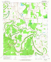
1964 · Avery
USGS Topo · 1:24,000
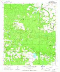
1964 · Tyro
USGS Topo · 1:24,000

1966 · Monticello North
USGS Topo · 1:24,000