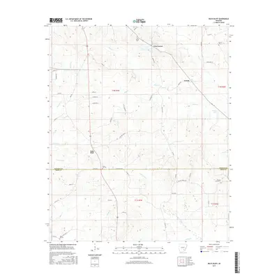
2017 Map of Relfs Bluff
USGS Topo · Published 2017About this map
Relfs Bluff serves as a central landmark in this portion of the Arkansas timberlands, where the terrain is defined by an intricate network of creeks and prongs. The landscape transitions across the Lincoln Co Drew Co line, revealing a pattern of rural settlement anchored by historic family and community burial grounds such as Holly Springs Cem and Mount Zion Cem. The presence of Little Garnett and Garnett to the northeast suggests a legacy of small-scale crossroads communities tied to the local geography.
Find a feature on this map
63 named features on this map. Tap any name to fly to it.
Don’t see what you’re looking for? This feature index may not catch every label — zoom into the map to look around manually.
Map Details
Editions of this 2017 Relfs Bluff Map
This is the sole edition of this map. No revisions or reprints were ever made.
Other maps of this area

1935 · Feenyville
USGS Topo · 1:62,500

1935 · Cominto
USGS Topo · 1:62,500

1935 · Rotan
USGS Topo · 1:62,500

1953 · Greenwood
USGS Topo · 1:250,000

1956 · Greenwood
USGS Topo · 1:250,000

1960 · Collins NW
USGS Topo · 1:24,000

1960 · Collins
USGS Topo · 1:62,500
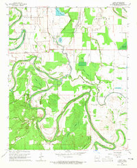
1964 · Avery
USGS Topo · 1:24,000
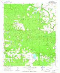
1964 · Tyro
USGS Topo · 1:24,000

1966 · Monticello North
USGS Topo · 1:24,000