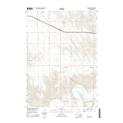
2015 Map of Reliance SE
USGS Topo · Published 2015About this map
White River valley bottomlands and the dissected uplands of southern Lyman County define this 2015 survey. The topography transitions from the high prairie flats near the town of Reliance and the Holmquist locale down into the deep drainage of Wagner Draw. Interstate 90 bisects the northern section of the map, following the high ground between American Crow Cr and Big Cr. Rural infrastructure is well-documented through a network of section-line roads like Cooper School Rd and Sharpe Bottom Rd, which provide access to the river's edge. The map captures a landscape shaped by both modern transportation corridors and the historical township and range system, showing the persistent rural character of the Great Plains at the start of the twenty-first century.
Find a feature on this map
24 named features on this map. Tap any name to fly to it.
Don’t see what you’re looking for? This feature index may not catch every label — zoom into the map to look around manually.
Map Details
Editions of this 2015 Reliance SE Map
This is the sole edition of this map. No revisions or reprints were ever made.
Other maps of this area

1935 · Chamberlain
USGS Topo · 1:62,500

1939 · Chamberlain
USGS Topo · 1:62,500

1940 · Iona
USGS Topo · 1:62,500

1944 · Iona
USGS Topo · 1:62,500

1952 · Reliance SW
USGS Topo · 1:24,000

1952 · Reliance SE
USGS Topo · 1:24,000

1952 · Hamill NW
USGS Topo · 1:24,000

1952 · Hamill NE
USGS Topo · 1:24,000

1952 · Oacoma
USGS Topo · 1:24,000

1952 · Iona NW
USGS Topo · 1:24,000