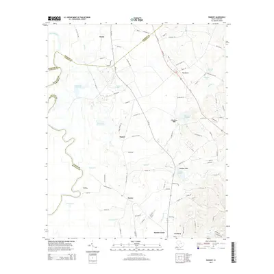
2014 Map of Rembert
USGS Topo · Published 2014About this map
Wateree River winds through the western portion of this landscape, forming the boundary between Sumter and Richland Counties. The local economy is historically tied to the water, as evidenced by the series of mills and their respective ponds, including Ellerbees Mill and Dinkins Mill. Settlements like Boykin, Rembert, and Hagood are linked by a network of roads such as Us-521 and SC-261, which follow the higher ground east of the river’s floodplains. To the south, Stateburg and Sanders Corner mark the transition toward the interior. The map reveals a topography defined by low-lying wetlands like White Oak Slash Lake and Gum Swamp Br, interspersed with small family-named landmarks and historical sites like Willow Grove Cem. This 2014 survey documents the enduring rural character of the region, where numerous named ponds and branches reflect a landscape still shaped by its hydrologic features and early agricultural footprints.
Find a feature on this map
92 named features on this map. Tap any name to fly to it.
Don’t see what you’re looking for? This feature index may not catch every label — zoom into the map to look around manually.
Map Details
Editions of this 2014 Rembert Map
This is the sole edition of this map. No revisions or reprints were ever made.
Other maps of this area

1938 · Hagood
USGS Topo · 1:62,500

1941 · Spartanburg
USGS Topo · 1:250,000

1942 · Camden
USGS Topo · 1:125,000

1943 · Eastover
USGS Topo · 1:62,500

1946 · Sumter
USGS Topo · 1:62,500

1953 · Camden South
USGS Topo · 1:24,000

1953 · Eastover
USGS Topo · 1:24,000

1953 · Lugoff
USGS Topo · 1:24,000

1953 · Wedgefield
USGS Topo · 1:24,000

1953 · Rembert
USGS Topo · 1:24,000